What is recorded here
Fairy fort / earthen ringfort in Mountgaffeny is a fairy fort or earthen ringfort in Mountgaffeny, County Sligo, Ireland. The raised oval area stands 1.35 metres high with gently sloping sides on a ridge overlooking Lough Arrow. An east-west field boundary crosses the north half of the interior, while the south half is covered with overgrowth. A dark band of vegetation marks the external fosse in an aerial photograph.
In pasture, on top of a ridge overlooking Lough Arrow to E. A raised oval area (H 1.35m; diam. 39m x 33m) with gently sloping sides. An E-W field boundary crosses the N half of the interior, while the S half is covered with overgrowth. An external fosse is visible as a band of dark vegetation in an aerial photograph (GSIAP, G 218-7).
The above description is derived from the published 'Archaeological Inventory of County Sligo' compiled by Ursula Egan, Elizabeth Byrne, Mary Sleeman with Sheila Ronan and Connie Murphy (Dublin Stationery Office, 2005).
Date of upload: 18 January 2008
The monument record does not grant public access. Check the route and ask the landowner before entering private land.
- What survives
- Recorded monument
Places near here
 CashelalanFairy fort / stone ringfort · 529 yd
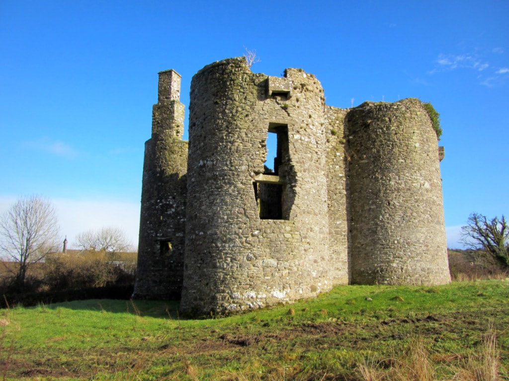 Enclosure in Cuilsheeghary BegEnclosure · 569 yd
 Ballinafad CastleCastle · 927 yd
 Church in AghanaghChurch · 1280 yd
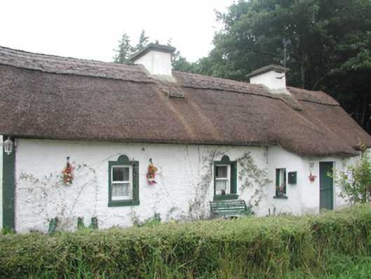 farm housefarm house · 1373 yd
 Carricknahorna EastMountain / peak · 1.3 mi
 Muck IslandIslet · 1.7 mi
 MoatCastle, motte · 1.9 mi
 Bricklieve MountainsMountain / peak · 2.1 mi
 Treanscrabbagh caveCave · 2.5 mi
 Loughbrick BayBay · 2.5 mi
 Battle of the Curlew Mountains (1599)Battlefield · 2.7 mi