What is recorded here
Fairy fort / earthen ringfort in Mote Demesne is a fairy fort or earthen ringfort in Mote Demesne, County Roscommon, Ireland. It is a D-shaped earthwork on a level area at the bottom of a north-facing slope. The site has an inner earthen bank, a central fosse, a thinner outer bank and an east-south-east entrance with a causeway. A field bank cuts across the north-west perimeter, and coniferous trees now grow around the remains.
On a level landscape at the bottom of a N-facing slope. D-shaped area within a coniferous forest (dims 43.3m NNE-SSW; 32.8m WNW-ESE) defined by an earthen bank (Wth 4.1-5.3m; int. H 0.45-1.05m; ext. H 1.2-1.65) separated by a fosse (Wth of top 4.5-4.8m; Wth of base 1.1-1.5m; D 0.9-1m) from a slight outer bank (Wth 3.2-3.9m; H 0.1-0.55m). The entrance through the inner (Wth 1.2m) and outer (Wth 6.3m) banks and a causeway (Wth 3.5m) are at ESE, but the perimeter is truncated by a NW-SW field bank at NW (max. ext. dim. 58.8m NNE-SSW).
Compiled by: Michael Moore
Date of upload: 24 August 2010
The monument record does not grant public access. Check the route and ask the landowner before entering private land.
- What survives
- Recorded monument
Places near here
 Ballymurray ForestForest · 203 yd
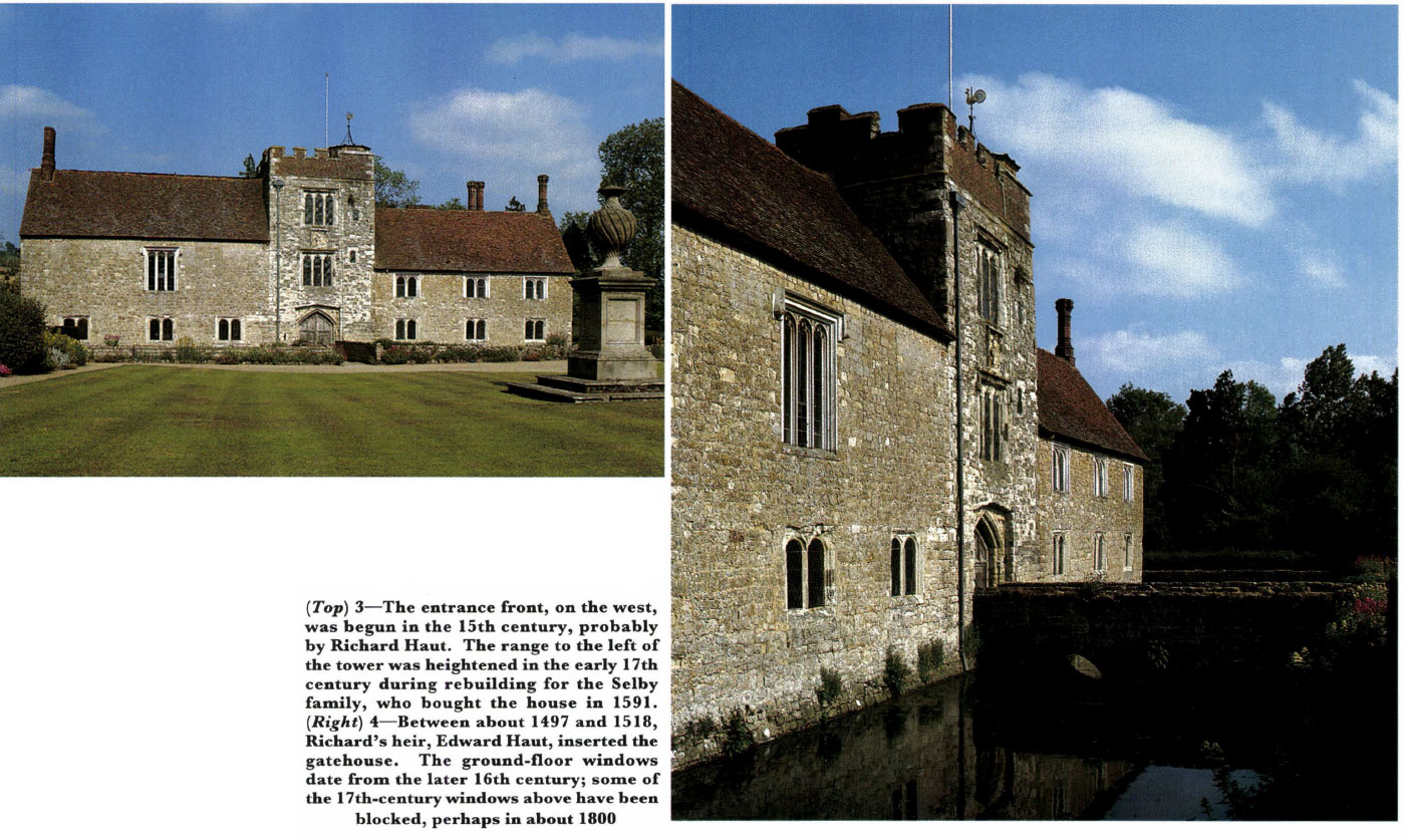 Embanked enclosureFairy fort / earthen ringfort · 371 yd
 Mote Parkdemesne walls/gates/railings · 639 yd
 Lower WoodForest · 939 yd
 CrossCross, Wayside cross · 1350 yd
 CastleCastle, unclassified · 1.8 mi
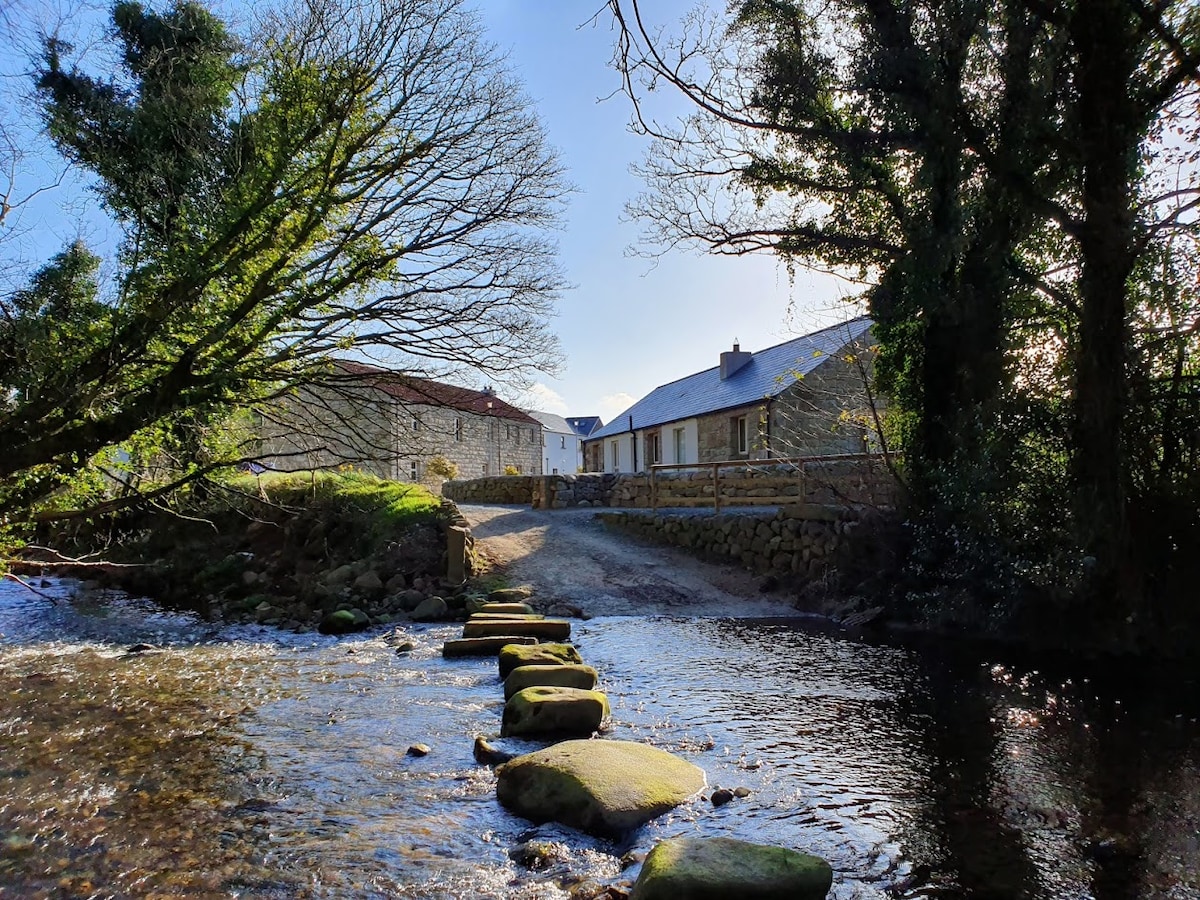 MillMill, unclassified · 1.9 mi
 Hangman's HillMountain / peak · 2.1 mi
 Galey CastleCastle, tower house · 3.2 mi
 Galey BayBay · 3.4 mi
 Cruit BayBay · 3.4 mi
 Roscommon CastleCastle · 3.6 mi