What is recorded here
Moodoge holds a forty-metre earthen ring where human hands first shaped the soil. Farmers later folded that boundary into ordinary fields, reducing a fortified life to a subtle ridge in the grass. The fairies may have inherited the emptied house, but the clay still remembers the weight of human choice.
Raised circular area (int. diam. c. 40m) enclosed by a substantial earthen bank which has been modified and incorporated into the field boundary. An earlier report (OPW 1970) noted slight traces of an external fosse and also suggested that the original entrance may have been at ESE.
The above description is derived from the published 'Archaeological Inventory of County Cavan' (Dublin: Stationery Office, 1995). In certain instances the entries have been revised and updated in the light of recent research.
Date of upload/revision: 22 December 2008
The monument record does not grant public access. Check the route and ask the landowner before entering private land.
- What survives
- Recorded monument
Places near here
 Saint Joseph's Catholic CemeteryMemorial · 704 yd
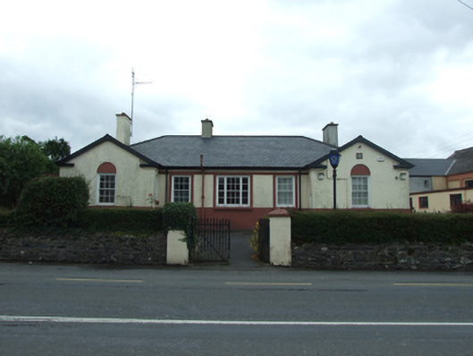 Ballyjamesduff Garda Stationgarda station/constabulary barracks · 861 yd
 Market House Chinese Takeaway / The Hair Care Centremarket house · 880 yd
 1940 PloughMemorial · 886 yd
 Cornahilt ForestWood · 1021 yd
 CarnMountain / peak · 1286 yd
 Sheela-na-gig (present location) in Kilmore (castlerahan By., Ballyjamesduff Ed)Sheela-na-gig (present location) · 1403 yd
 Scouts wind vaneMonument · 1438 yd
 The GPO ExhibitionMuseum · 1461 yd
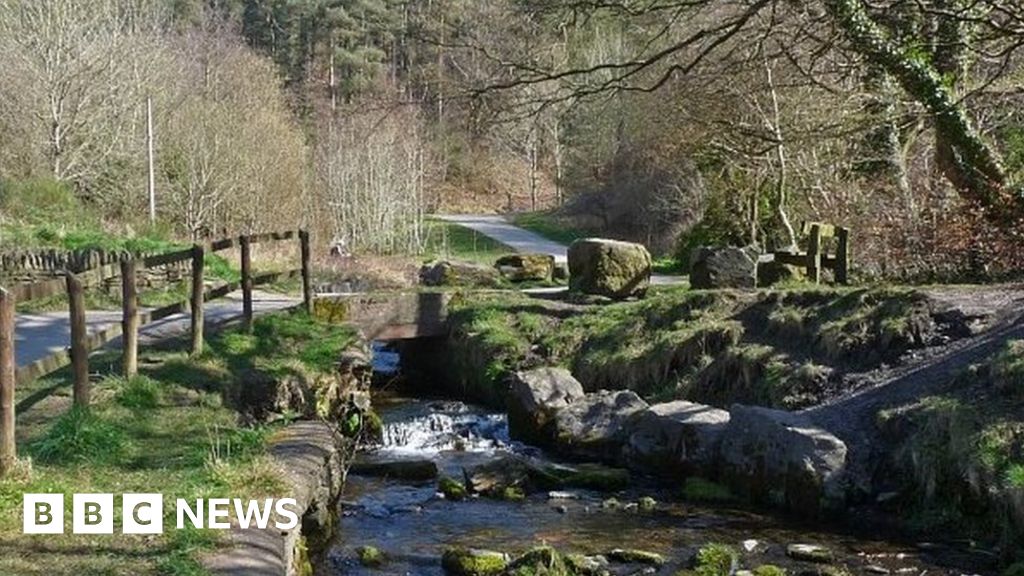 Carn ForestForest · 1587 yd
 Aghalion HillMountain / peak · 1.9 mi
 Christ Churchchurch/chapel · 890 yd