What is recorded here
Behind the Presentation Convent in Lixnaw, a low earthen bank still curves through the field, the last visible trace of a ringfort wide enough to hold a small village or a hundred dancing shadows. Ploughs have bitten through most of it, leaving only a shallow ridge that begs to be imagined rather than measured. The fort has surrendered its shape to the soil, but the soil keeps the memory of the circle, waiting for someone to walk its ghost and remember the life that once turned inside it.
Internal diameter 24m N-S
This site is situated in the field behind the Presentation Convent in Lixnaw. This univallate rath is marked on the 1841-42 and 1914-15 OS maps; on the earlier edition a fieldbank runs along the W sector in a NNW-SSE direction. This rath has been almost ploughed out and all that remains is a low, wide earthen bank which can be traced from the N through E to S. The bank is 8m-12m wide at the base and .4m high.
The above description is derived from C. Toal, ‘North Kerry Archaeological Survey’. Dingle. Brandon in association with FAS Training and Employment Authority (1995), no. 646. In certain instances the entries have been revised and updated in the light of recent research.
Date of upload: 2 August 2013
The monument record does not grant public access. Check the route and ask the landowner before entering private land.
- What survives
- Recorded monument
Places near here
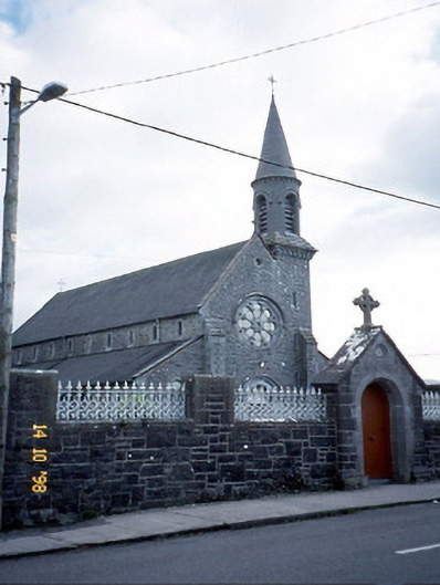 Saint Michael's Catholic Churchchurch/chapel · 151 yd
 Enclosure in Clogher (clanmaurice By., Lixnaw Ed)Enclosure · 667 yd
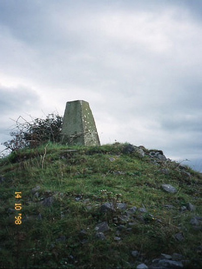 FitzMaurice Monumentmonument · 672 yd
 CastleCastle, Anglo-Norman masonry castle · 1074 yd
 Ecclesiastical enclosure in BallynagareEcclesiastical enclosure · 1096 yd
 Kilflynn Nature ReserveNature reserve · 4.0 mi
 Ballymacaquinn Castle (remains of)Castle · 4.8 mi
 Kerry Writers' MuseumMuseum · 6.0 mi
 Bryan MacMahonMemorial · 6.0 mi
 Lartigue MonorailMuseum · 6.0 mi
 John B. Keane GroveMemorial · 6.1 mi
 Stack's MountainMountain / peak · 6.1 mi