What is recorded here
Fairy fort in Monmurry occupies the south tip of a drumlin ridge, a circular grassy bowl thirty-three metres across, bounded by an earthen bank and a steep scarped edge. The eastern gap likely marks the original entrance, while the outer ditch has become a water-logged drain. People may have lived there, feared the fairies, or simply avoided the damp circle because story and memory made it dangerous.
Located at the S tip of a N-S drumlin ridge. This is an overgrown circular area (int. diam. 33.5m NNE-SSW) that slopes down to the S, which is defined by an overgrown earthen bank (at W: Wth of base 5.5m; Wth of top 1.6m; int. H 0.7m; ext. H 2.2m) WSW-NE and a scarp (at S: H 2.3m) elsewhere. There is an outer fosse that has been re-cut as a water-logged drain (at W: Wth of top 2.5m; Wth of base 2m; ext. D 0.7m) SE-W-NW. There are several gaps in the bank but that at E (Wth c. 4.6m) is probably the original entrance.
The above description is derived from the published 'Archaeological Inventory of County Monaghan' (Dublin: Stationery Office, 1986). In certain instances the entries have been revised and updated in the light of recent research.
Date of revision: 30 August 2017
The monument record does not grant public access. Check the route and ask the landowner before entering private land.
- What survives
- Recorded monument
Places near here
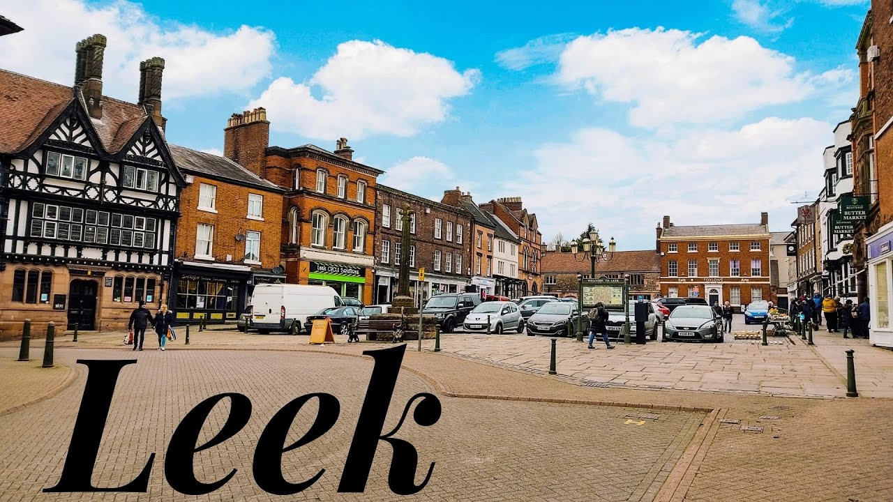 Enclosure in LeekEnclosure · 1010 yd
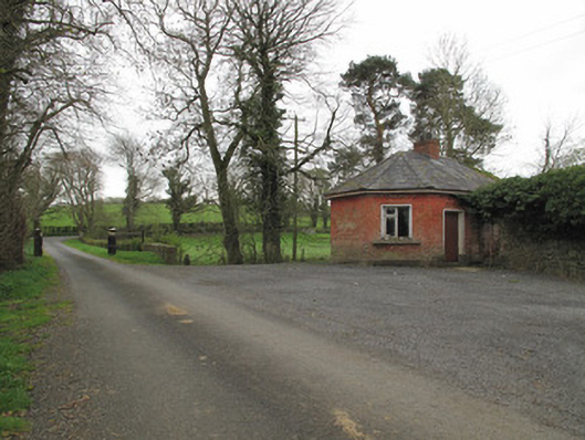 Leek Housegate lodge · 1224 yd
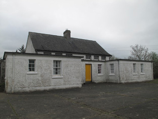 Killyrane National Schoolschool · 1505 yd
 IndicatedEnclosure · 1646 yd
 Sitka SpruceSitka Spruce · 1.3 mi
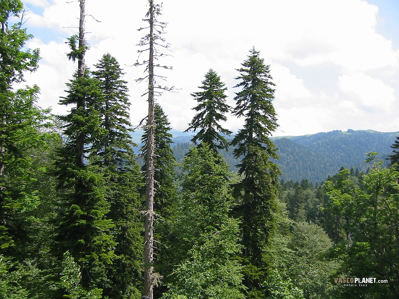 Caucasian FirCaucasian Fir · 1.3 mi
 Harry LaveryMemorial · 1.4 mi
 Emyvale Heritage TrailVisitor information · 2.6 mi
 St. Muadain's WellSpring · 4.7 mi
 Battle of BenburbMajor battlefield · 7.7 mi
 Navan FortArchaeological place · 7.9 mi
 CrannogIsland · 8.2 mi