What is recorded here
Fairy fort / earthen ringfort in Monmurry is a circular enclosure c. 35m across, set just off the crest of a drumlin slope in County Monaghan. In 1834 it appeared as a field bank written in gothic lettering as a fort, while traces of a ploughed-out bank still show at the north edge in pasture. Rath MO007-002---- lies c. 170m to the south-southwest, giving the place the feeling of a small forgotten cluster rather than a lonely mark.
Located just off the crest of the S-facing slope of a drumlin. A circular enclosure (ext. diam. c. 35m) is depicted on the 1834 edition of OS 6-inch map as defined by a field bank but it is described in gothic lettering as a ‘fort’. Traces of a ploughed out bank are visible at the N edge in pasture. Rath (MO007-002----) is c. 170m to the SSW.
The above description is derived from the published 'Archaeological Inventory of County Monaghan' (Dublin: Stationery Office, 1986). In certain instances the entries have been revised and updated in the light of recent research.
Date of revision: 25 July 2017
The monument record does not grant public access. Check the route and ask the landowner before entering private land.
- What survives
- Recorded monument
Places near here
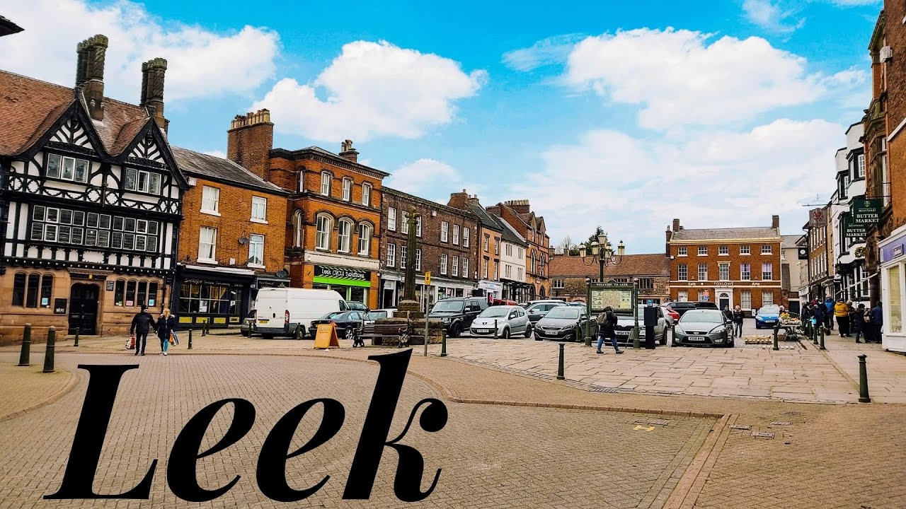 Enclosure in LeekEnclosure · 1074 yd
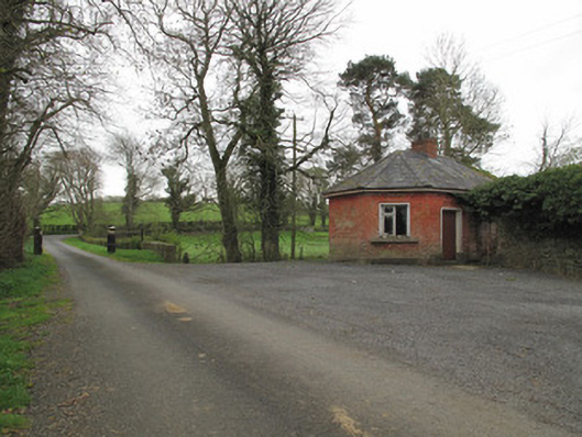 Leek Housegate lodge · 1246 yd
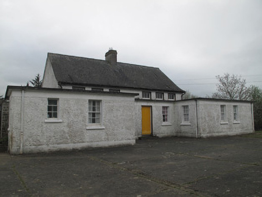 Killyrane National Schoolschool · 1505 yd
 IndicatedEnclosure · 1.1 mi
 Sitka SpruceSitka Spruce · 1.4 mi
 Caucasian FirCaucasian Fir · 1.4 mi
 Harry LaveryMemorial · 1.5 mi
 Emyvale Heritage TrailVisitor information · 2.6 mi
 St. Muadain's WellSpring · 4.7 mi
 Battle of BenburbMajor battlefield · 7.6 mi
 Navan FortArchaeological place · 7.9 mi
 CrannogIsland · 8.0 mi