What is recorded here
Fairy forts are not forts at all. They are circular houses, farmsteads and burial places from the Bronze and Iron Ages. People lived inside them, not under them. The fairy idea came later because the shapes still stood empty in fields long after the people disappeared. In Monaghan and Cavan they are called baliBeag or finefort, which means small fort. That is closer to the truth. A small fort is easier to picture than a palace for creatures no one has proven exist.
Situated on a slight rise in a fairly level landscape, with a small canalised W-E stream c. 100m to the N. The cropmark of a circular area (diam. c. 40m) defined by a single fosse is visible only on Google Earth (21/07/2021). It is slightly truncated by an E-W road bank at S, and it was first reported by Anthony Murphy.
See the attached enhanced view from Google Earth (21/07/2021)
Compiled by: Michael Moore
Date of upload: 7 September 2021
The monument record does not grant public access. Check the route and ask the landowner before entering private land.
- What survives
- Recorded monument
Places near here
 Enclosure in MonknewtownEnclosure · 246 yd
 Ritual siteRitual site, pond · 396 yd
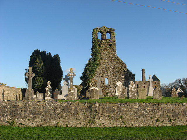 Church (in Ruins)Church · 514 yd
 mill (water)mill (water) · 574 yd
 Knowth Timber CircleHeritage attraction · 1.1 mi
 KnowthArchaeological place · 1.1 mi
 Knowth Fox CovertWood · 1.4 mi
 Dowth CastleCastle, tower house · 1.4 mi
 School WoodForest · 1.7 mi
 Proudfootstown CastleCastle, unclassified · 1.8 mi
 Brú na Bóinne Visitors CentreVisitor information · 1.8 mi
 Hurcle HillMountain / peak · 2.7 mi