What is recorded here
Moneyveen holds a circular rath twenty-seven metres wide on a grassy rise in County Galway. Two banks and a hollow ditch still mark its edge, though much has softened into the land. Inside the southwest quadrant, a rectangular shadow suggests an underground passage, inviting curiosity about who dug it and why. The fort endures as a quiet puzzle, part human craft and part fairy myth.
On a rise in undulating grassland. Circular rath (D 27m) (GA073-141----), in fair condition, defined by two banks and an intervening fosse. The fosse and outer bank survive only at E and SW. A rectangular hollow, long axis running NE-SW, is visible in SW quadrant of the interior; a possible Man-made underground passage (GA073-141001-).
The above description is derived from the published 'Archaeological Inventory of County Galway Vol. II - North Galway'. Compiled by Olive Alcock, Kathy de hÓra and Paul Gosling (Dublin: Stationery Office, 1999).
Date of upload: 25 October 2022
The monument record does not grant public access. Check the route and ask the landowner before entering private land.
- What survives
- Recorded monument
Places near here
 Trench's Monumentmausoleum · 481 yd
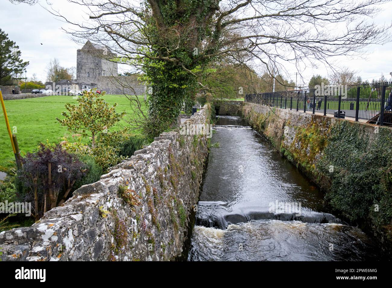 Enclosure in MoneyveenEnclosure · 697 yd
 demesne walls/gates/railingsdemesne walls/gates/railings · 934 yd
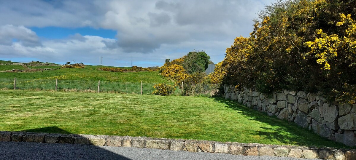 Enclosure in HillswoodEnclosure · 1554 yd
 Western RedcedarWestern Redcedar · 1.5 mi
 Large-leaved LimeLarge-leaved Lime · 1.5 mi
 Castle (in Ruins)Castle, unclassified · 1.8 mi
 Kilconnell AbbeyHeritage attraction · 2.8 mi
 CastleCastle, unclassified · 2.9 mi
 Menlough IRAMemorial · 6.6 mi
 Battle of Aughrim Interpretative CentreMuseum · 6.8 mi
 Battle of AughrimMajor battlefield · 7.3 mi