What is recorded here
Moneymore East holds a fifty-metre circular rath with two banks and a central ditch, preserving a shape that human imagination often assigns to fairies. The earth remains clear enough on a northern slope for a person to walk the inside and measure how much space a small community actually needed. The fairy label does not disable that human scale; it records the moment people stopped knowing the names of the people who lived there.
On a N-facing slope in grassland. Well-preserved circular rath (diam. c. 50m) defined by two banks and an intervening fosse. The outer bank is visible at NE and S. A gap (Wth c. 3m) at NE may be original. (Athy 1914, 135-6; McCaffrey 1952, 126, no. 48)
Compiled by: Galway Archaeological Survey, UCG
Date of upload: 5 January 2017
The monument record does not grant public access. Check the route and ask the landowner before entering private land.
- What survives
- Recorded monument
Places near here
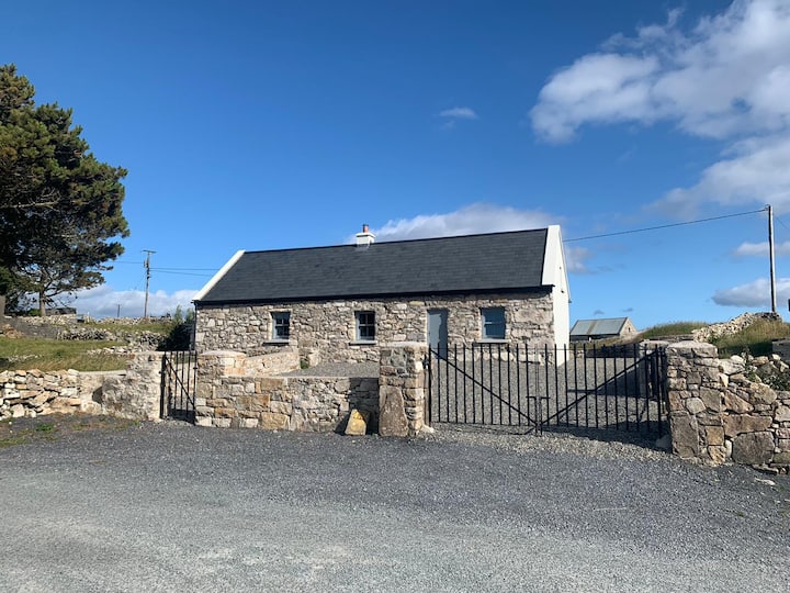 Hut site in BallynageehaHut site · 107 yd
 RinnFairy fort / earthen ringfort · 949 yd
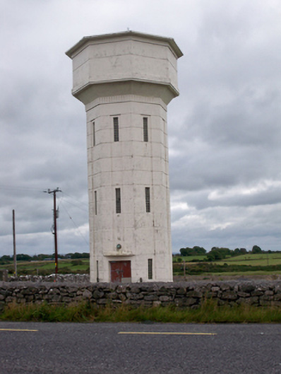 water towerwater tower · 1721 yd
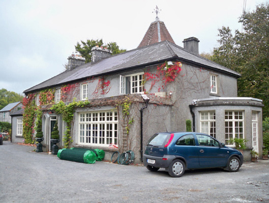 Rockhill Househouse · 1.3 mi
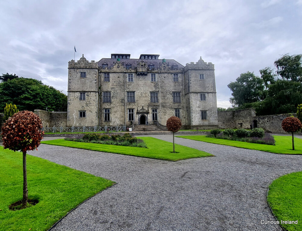 Moneyduff Castle (Site of)Castle, unclassified · 1.8 mi
 Bawn in Cregganna MoreBawn · 2.1 mi
 Loughaun WoodWood · 2.3 mi
 Kilcornan ForestWood · 2.9 mi
 Leadmine HillMountain / peak · 4.2 mi
 Drumacoo Monastic SiteHeritage attraction · 4.7 mi
 MweenisharanIslet · 5.1 mi
 Rabbit IslandIslet · 5.1 mi