What is recorded here
Fairy forts are human raths misnamed by folklore, and Moneymohill is no exception: a circular embankment about thirty metres across, built and lived in by people, later levelled by ploughs and memory. What remains is a faint ring of darker grass and a ghost of a bank, just enough for the shape to reappear when the field grows tall. The fairies never lived there; people did, and forgot how to see them.
In undulating pasture. Monument, depicted as embanked circular enclosure (diam. c. 30m) on 1923 OS 6-inch map, has been levelled but faint outline of its profile is discernable in field of tall grass. Ring of darker grass growing in slight hollow (Wth c. 3.5m; D c. 0.2m) defines roughly circular area (31.5m N-S; 34m E-W). Slight trace of outer/counterscarp bank (H c. 0.3m; Wth c. 3m) evident NW->NE.
Compiled by: Denis Power
Date of upload: 26 August 2011
The monument record does not grant public access. Check the route and ask the landowner before entering private land.
- What survives
- Recorded monument
Places near here
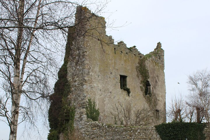 Kyleroe Fort - HachuredFairy fort / earthen ringfort · 417 yd
 Moneymohill National Schoolschool · 590 yd
 Mound in MoneymohillMound · 636 yd
 bridgebridge · 1060 yd
 Shanid Castle (in ruins)Castle, Anglo-Norman masonry castle · 1.9 mi
 Shanid CastleCastle · 1.9 mi
 TobercloonaghSpring · 2.8 mi
 Prospect HillMountain / peak · 3.6 mi
 Monterey CypressMonterey Cypress · 4.3 mi
 Foynes Flying Boat & Maritime MuseumMuseum · 5.1 mi
 Foynes Island ViewpointViewpoint · 5.2 mi
 St. Luke's WellSpring · 5.3 mi