What is recorded here
Moneymohill is a lost ringfort. The earth forgot the name, but the ground remembers the shape. Two circles touched like cups pressed together, then men dragged them flat. The white river still passes the place where walls stood.
In low-lying pasture, close to E bank of White River. Monument, depicted as embanked circular enclosure (diam. c. 25m) on 1923 OS 6-inch map, has been levelled. No trace of monument evident when inspected. Conjoined to its SW side is similar enclosure (LI018-08601-) also now levelled.
Compiled by: Denis Power
Date of upload: 26 August 2011
The monument record does not grant public access. Check the route and ask the landowner before entering private land.
- What survives
- Recorded monument
Places near here
 Mound in MoneymohillMound · 114 yd
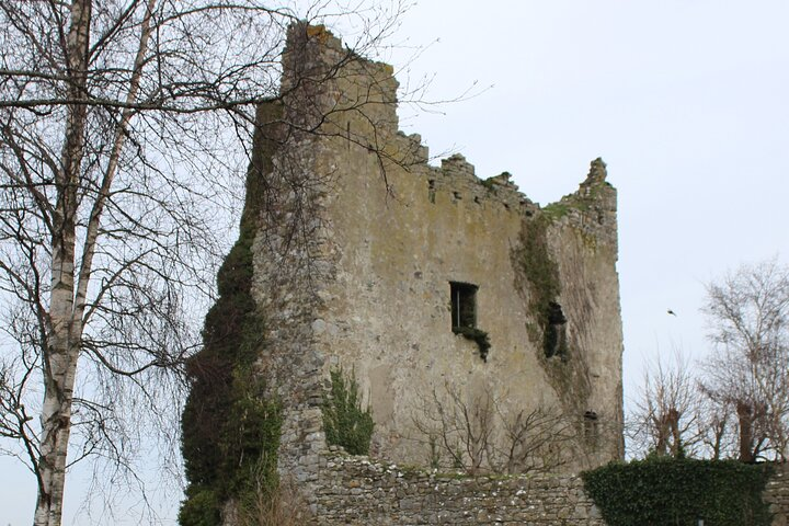 Kyleroe Fort - HachuredFairy fort / earthen ringfort · 861 yd
 Moneymohill National Schoolschool · 1133 yd
 bridgebridge · 1426 yd
 Shanid Castle (in ruins)Castle, Anglo-Norman masonry castle · 2.1 mi
 Shanid CastleCastle · 2.1 mi
 TobercloonaghSpring · 2.5 mi
 Prospect HillMountain / peak · 3.3 mi
 Monterey CypressMonterey Cypress · 4.1 mi
 Foynes Flying Boat & Maritime MuseumMuseum · 5.1 mi
 Foynes Island ViewpointViewpoint · 5.2 mi
 Mountshannon PointHeadland · 5.6 mi