What is recorded here
Fairy fort in Moneen, County Galway: a subcircular rath about forty metres north-south on a south-facing ridge, its bank and outer ditch surviving only from south through west to north while a field bank still rings the ditch. The rest has surrendered to grass and time, yet the shape remains enough to suggest rooms, herds, firelight and argument inside a circle drawn against the dark. Another earthwork waits one hundred and seventy metres to the west-northwest, as if the ridge were once busy with borders, memory and the small cruelties of living.
On S-facing slope of a ridge in grassland. Very poorly preserved originally subcircular rath (N-S c. 40m) defined by a bank and external fosse from S through W to N. A field bank encircles the fosse. No visible surface trace of the enclosing elements survives elsewhere. An earthwork (GA001-036----) lies c. 170m toWNW.
The above description is derived from the published 'Archaeological Inventory of County Galway Vol. II - North Galway'. Compiled by Olive Alcock, Kathy de hÓra and Paul Gosling (Dublin: Stationery Office, 1999).
Date of upload: 05 August 2010
The monument record does not grant public access. Check the route and ask the landowner before entering private land.
- What survives
- Recorded monument
Places near here
 Enclosure in Moneen (island Ed)Enclosure · 228 yd
 KilnKiln · 644 yd
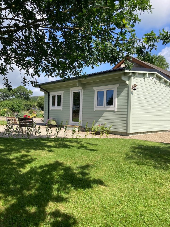 Enclosure in BallyroeEnclosure · 1192 yd
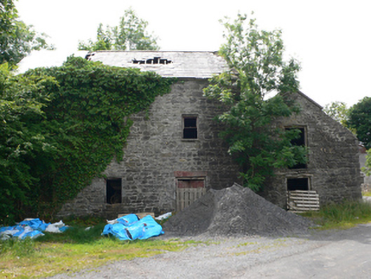 Clough Millmill (water) · 1260 yd
 Castle (in ruins)Castle, unclassified · 1.7 mi
 CastleCastle, unclassified · 2.0 mi
 Rook HillMountain / peak · 2.1 mi
 Coolougher WoodForest · 4.5 mi
 Site of Killomaine Grave YardArchaeological place · 5.2 mi
 HawthornHawthorn · 9.1 mi
 Mount MaryMountain / peak · 11 mi
 Sally IslandIslet · 13 mi