What is recorded here
Fairy fort in Monavaha: a 29-metre earthen ring on a south-facing limestone slope, cut by a shallow fosse and damaged where stone was taken. It still stands in pasture above a river valley, partly scarp, partly memory, the kind of place people named for what they refused to explain.
In pasture, on S-facing slope with terrain dipping sharply down to E into river valley, in area of outcropping limestone. Roughly circular area (27.1m N-S; 29m E-W) enclosed by earth-and-stone bank, with external fosse (Wth 2.4m; D 0.25m) N->ESE. Bank (int. H 0.8m; ext. H 1.4m), best preserved W->N, lowers and becomes scarp-like at S. Bank and verge of interior have been quarried out at ENE (6.7m x 2.6m), with heap of earth and stones dumped on top of bank at NE. Interior, under rough grazing, slopes down to SE. Field boundary runs tangentially to bank along NW arc.
Compiled by: Denis Power
Date of upload: 26 August 2011
The monument record does not grant public access. Check the route and ask the landowner before entering private land.
- What survives
- Recorded monument
Places near here
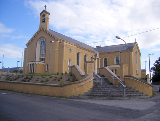 Saint Senan's Catholic Churchchurch/chapel · 419 yd
 Elm Villehouse · 724 yd
 Enclosure in ParkmoreEnclosure · 1077 yd
 Holy well in Shanagolden DemesneHoly well · 1294 yd
 Site of CastleCastle, unclassified · 1.1 mi
 CastleCastle, unclassified · 1.3 mi
 Foynes Flying Boat & Maritime MuseumMuseum · 3.1 mi
 Foynes Island ViewpointViewpoint · 3.3 mi
 Gammarel PointHeadland · 3.5 mi
 Monterey CypressMonterey Cypress · 3.8 mi
 Foynes IslandIsland · 3.8 mi
 Battery PointHeadland · 4.0 mi