What is recorded here
Monaster North holds a broken earthen ring where hawthorns still clutch the bank and modern drains cut through its ancient fosse. Westropp called it featureless in 1920, yet measurement has since recovered an oval chamber, partial ditch and several breaches that may mark entrances rather than decay. The fairies keep their fort in wet pasture beside a bowl barrow, waiting for people stubborn enough to see what certainty dismisses.
On a N-facing slope, in wet pasture, 5m E of a townland boundary with Garrane. Bowl-barrow (LI031-004----) lies 125m to W. Depicted on the 1897 ed. OSi 25-inch map as a circular-shaped earthwork. Westropp (1920, 373) describes this monument as, ‘a featureless ring mound, 3 to 4 feet (0.91m-1.22m) high, with large hawthorns here and there on its circuit and no raised garth’.
Monument surveyed by the ASI in 2007 and described as an oval-shaped area (20m ESE-WNW; 14m NNE-SSW) enclosed by an earthen bank (Wth 6.55m; int. H 0.35m; ext. H 0.65m) best preserved from SE-SSE-S with faint traces from NW-NNW-N and external fosse (Wth 4.8m; D 0.1m) that has been infilled at SSW and re-cut at SW and NW. Breaches in bank at N (Wth 1.2m), NE (Wth 1.2m), ENE (Wth 4m) and SE (Wth 2m) appear modern. A field drain intersects the fosse at NW and a field boundary running N-S truncates the exterior of fosse at W. The interior is dry and planted with deciduous trees. A field boundary depicted on the current ed. OSi 6-inch map, to S of the monument, has been removed. Monument is visible as an irregular-shaped tree-covered earthwork on OSi aerial orthoimage taken 2005-2012, on Digital Globe orthoimage taken 2011-2013 and on Google Earth orthoimage taken 28/06/2018.
See attached Google Earth orthoimage and sketch plans, cross-sections and photographs surveyed, drawn and taken by the ASI. Also sketch plan of the assembly place of the Óenach Cairbre and other associated monuments in its vicinity, on the flood plain of the Camoge River (after Westropp 1920, 373).
Compiled by: Alison McQueen and Vera Rahilly
Date of upload: 27 October 2020
This remains an important historical record, but the official description says the monument is no longer visible or has been destroyed. The monument record does not grant public access. Check the route and ask the landowner before entering private land.
- What survives
- No visible remains or recorded as destroyed
Places near here
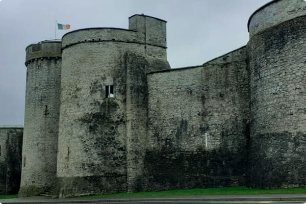 Sheenafinnoge Fort, hachuredBarrow, bowl-barrow · 154 yd
 RIC barracksRIC barracks · 494 yd
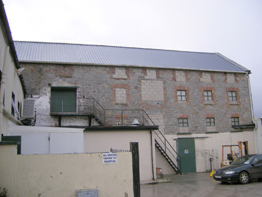 mill (water)mill (water) · 600 yd
 Burial GroundChildren's burial ground · 1127 yd
 Monasteranenagh AbbeyHeritage attraction · 1302 yd
 European ashEuropean ash · 1498 yd
 Bawn in Rathmore NorthBawn · 1.5 mi
 Castle (in ruins)Castle, hall-house · 1.8 mi
 Biodiversity in the Maigue CatchmentVisitor information · 1.9 mi
 Dysert AenghusaHeritage attraction · 3.0 mi
 Villiers WellSpring · 3.4 mi
 Kinnoor WellSpring · 4.7 mi