What is recorded here
Just off summit of hill on NE facing slope. SSW quadrant is on summit. Surrounding meadow cut for sileage. Monument covered by grass, nettles and some thistles. Large quarry immediately SE exploiting the limestone sub-strata of the hill, with limekiln built into S quadrant of the monument. Ringfort (TS075-050----) visible c. 250m to NW. Circular site (diam. 24.3m N-S; 23m E-W) enclosed by bank (Wth 1.6-1.8m crest, 2.5-3.5m base; int. H 0.37-0.72m; in N and W quadrant respectively, ext. H 0.52m). Lot of stones and small boulders protruding from bank. Entrance (Wth 2m) in S quadrant. Bank in NNW sector is denuded, giving the appearance of a right-angle at this point. Quarry edges into the E side of ringfort and has partially tuncated this sector. Possible field bank runs N of site in NW quadrant, curving to NE and NW. May also be upcast from small scale quarrying, however, bank appears to join N bank of ringfort and may be contemporary.
Compiled by: Jean Farrelly
Date of upload: 26 August 2011
The monument record does not grant public access. Check the route and ask the landowner before entering private land.
- What survives
- Recorded monument
Places near here
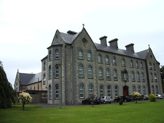 Cahir Convent of Mercyconvent/nunnery · 1442 yd
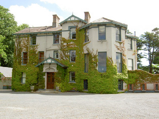 Duneske Housecountry house · 1528 yd
 Castle (in ruins)Castle, unclassified · 1675 yd
 Cahir CastleHeritage attraction · 1.1 mi
 Ladys WellHoly well · 1.2 mi
 Loughlohery Beating ChurchCastle · 1.2 miSiege of Cahir Castlesiege · 1.2 mi
 Caher AbbeyHeritage attraction · 1.2 mi
 Enclosure in EdenmoreEnclosure · 1.3 mi
 European YewEuropean Yew · 1.5 mi
 Cottagehill WoodForest · 1.5 mi
 Woodcock HillMountain / peak · 3.2 mi