What is recorded here
Fairy fort / earthen ringfort in Moig South is a circular earth-and-stone enclosure in County Limerick, Ireland, preserving an old boundary now absorbed into pasture and field lines. Its bank still stands about one metre high on the best-kept side, while a narrow gap remains at the north-west and bushes have been cut from the top and dumped inside. The site sits in the south-west corner of a field on a gentle south-facing slope, where ordinary farm use has both hidden and continued the shape of the fort.
In pasture, on gentle S-facing slope. Circular area (37m N-S; 34m E-W), enclosed by earth-and-stone bank (int. H 0.95m; ext. H 0.8m), best preserved NNE->SE. Bank incorporated into E-W field boundary SE->SW; this joins N-S field boundary short distance to W so that site occupies SW corner of field. Field boundary which abutted enclosure at S has been removed. Gap (Wth 2.4m) in bank at NNW. Interior slopes gently down towards centre and is under pasture. Bushes growing along top of bank at NE have recently been cut and dumped into interior.
Compiled by: Denis Power
Date of upload: 26 August 2011
This remains an important historical record, but the official description says the monument is no longer visible or has been destroyed. The monument record does not grant public access. Check the route and ask the landowner before entering private land.
- What survives
- No visible remains or recorded as destroyed
Places near here
 TombTomb, unclassified · 1395 yd
 Abbey (in ruinsReligious house, Franciscan friars · 1414 yd
 CairnCairn, burial cairn · 1446 yd
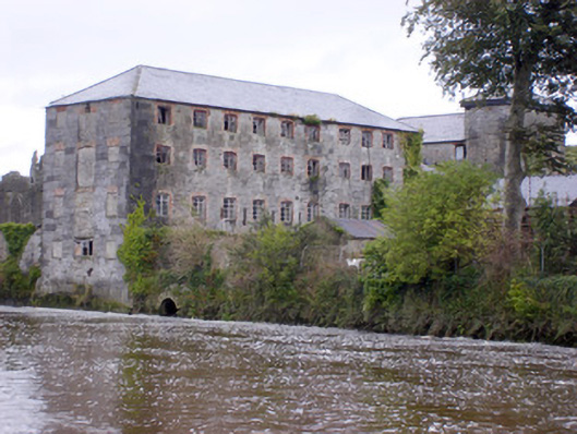 Abbey Millsmill (water) · 1486 yd
 Ballynash CastleCastle, unclassified · 1578 yd
 Tomdeely CastleCastle · 1677 yd
 Askeaton CastleHeritage attraction · 1.1 mi
 Holly IslandIslet · 1.3 mi
 Greenish IslandIslet · 1.6 mi
 Courtbrown PointHeadland · 1.8 mi
 Herring RockNamed rock · 3.0 mi
 Curraghchase Forest ParkForest · 4.5 mi