What is recorded here
Fairy fort / earthen ringfort in Moher (Templetenny parish) is a fairy fort or earthen ringfort in Moher (Templetenny parish), County Tipperary, Ireland. It occupies a roughly circular area measuring about 35 metres north-south and 35 metres east-west on a southwest-facing slope. A 1.36-metre-high scarp, a 2.1-metre-wide and 1-metre-deep ditch, and an outer bank enclose the site, though the bank is denuded in the southwest quadrant. Dense vegetation prevents access to the interior.
On a SW-facing slope in undulating terrain, surrounding field under tillage. Roughly circular area (diams. c. 35m N-S; c. 35m E-W), enclosed by scarp (H 1.36m); fosse (Wth 2.1m; D 1m) and outer bank (Wth 1.5m crest, 5.8m base; ext. H 1m). The outer bank is denuded in the SW quadrant. The interior not accessible due to dense vegetation.
Compiled by: Jean Farrelly
Date of upload: 18 November 2013
The monument record does not grant public access. Check the route and ask the landowner before entering private land.
- What survives
- Recorded monument
Places near here
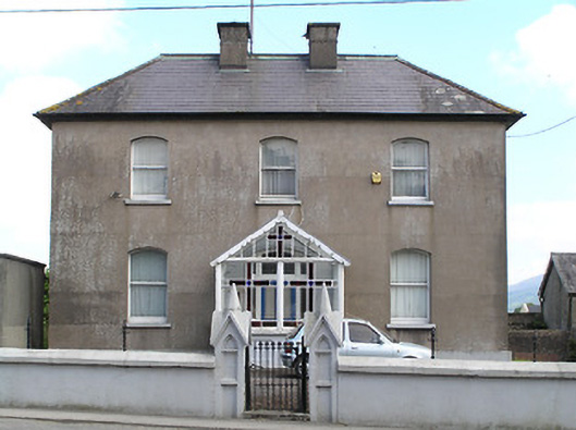 presbytery/parochial/curate's housepresbytery/parochial/curate's house · 342 yd
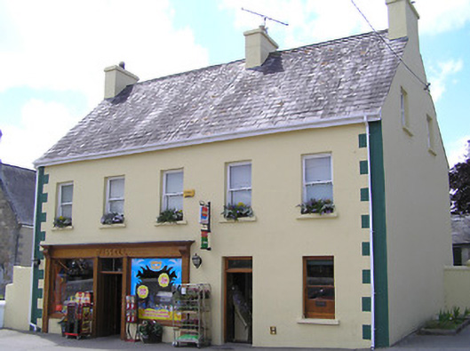 Russellhouse · 380 yd
 Ronald Reagan CentreHeritage attraction · 384 yd
 Fulacht fia in CarrigavistealFulacht fia · 647 yd
 Site of CastleCastle, unclassified · 687 yd
 Enclosure in NewcastleEnclosure · 1323 yd
 Sheep HillMountain / peak · 1.5 mi
 Lyrefune HillMountain / peak · 1.8 mi
 CastleCastle, ringwork · 2.1 mi
 Mitchelstown CaveCave · 2.3 mi
 Sweet ChestnutSweet Chestnut · 2.7 mi
 Rehill WoodForest · 3.6 mi