What is recorded here
Mogeely Lower holds a forgotten ringfort, marked only as a Danish Fort on a 1773 map while the earth itself has swallowed the shape. Forty metres away another enclosure still stands in the same pasture, proving the field once belonged to human hands rather than fairy trickery. The loss is not mystery but time, since soil, rain and forgetting can erase what chalk and judgement once drew.
In gently undulating pasture. Depicted as a circular 'Danish Fort' on a 1773-4 map (no. 10) by B. Scalé (NLI MSS 7216-18). It is not visible at ground level. An enclosure (CO046-009----) lies 40m to the SE in the same field.
The above description is derived from 'The Archaeological Inventory of County Cork. Volume 5' (Dublin: Stationery Office, 2009).
Date of upload: 22 December 2009
The monument record does not grant public access. Check the route and ask the landowner before entering private land.
- What survives
- Recorded monument
Places near here
 Frankfort Housecountry house · 204 yd
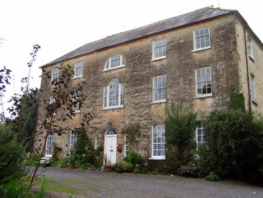 Lisnabrin Housecountry house · 530 yd
 Settlement desertedSettlement deserted, medieval · 792 yd
 Mogeely CastleCastle · 1049 yd
 CastleCastle, unclassified · 1.1 mi
 Graveyard in Curraheen (kinnatalloon By.)Graveyard · 1.2 mi
 Fulacht fia in GlasshouseFulacht fia · 1.2 mi
 Castlebrook forestWood · 1.7 mi
 Tallow HillMountain / peak · 3.0 mi
 Aghern CemeteryWood · 3.8 mi
 Salt HillMountain / peak · 4.4 mi
 Mocollop Picnic SitePicnic place · 4.5 mi