What is recorded here
In level area of forestry. Oval area (dims. 28m N-S; 24m E-W) defined by earthen bank (overall Wth 6.55m; Wth at top 1.5m; int. H 0.2m; ext. H 1.4m) SW-SE and reduced to scarp (Wth 4.3m; H 1.1m) SE-SW; fosse (overall Wth 6.8m; basal Wth 1.2m; D 1.4m); outer bank (overall Wth 5.05m; Wth at top 1m; int. H 1.5m; ext. H 1.4m) is slightly lower where breached at NW and outer fosse (overall Wth 3.95m; basal Wth 1.25m; D 0.95m). Both fosses have evidence of re-cutting for drainage purposes. Broad, shallow fosse-like feature (overall Wth 9m; basal Wth 3m; D 0.25m) around perimeter of interior, which is best preserved SW-NW. Interior rises up from inner edge of fosse to the centre which is densely overgrown. Ringfort (TS061-111----) is c. 170m to SW.
Compiled by: Jean Farrelly
Date of upload: 26 August 2011
The monument record does not grant public access. Check the route and ask the landowner before entering private land.
- What survives
- Recorded monument
Places near here
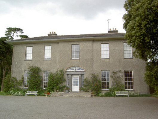 Mobarnan Housecountry house · 423 yd
 CastleCastle, tower house · 433 yd
 Enclosure in MobarnanEnclosure · 673 yd
 IndicatedEnclosure · 736 yd
 Church in MagorbanChurch · 760 yd
 Bawn in Ballyvadin (magorban Par.)Bawn · 1381 yd
 Taylor's WoodWood · 3.1 mi
 Noan WoodWood · 3.3 mi
 Ballinure HillMountain / peak · 3.4 mi
 Kilknockan HillMountain / peak · 3.7 mi
 East GateMemorial · 4.2 mi
 Athassel PrioryHeritage attraction · 9.7 mi