What is recorded here
Situated on a slight E-facing slope. A circular cropmark (diam. c. 50m) defined by a single fosse feature is visible on aerial photograph (CUCAP: BDJ 65). Nothing is visible at ground level in pasture. Archaeological testing (07E0321) just to the SE produced no related material, (Stafford 2010). It is also faintly visible on Google Earth (14/07/2018).
See the attached enhanced view from Google Earth (2018)
The above description is derived from the published 'Archaeological Inventory of County Wexford' (Dublin: Stationery Office, 1996). In certain instances the entries have been revised and updated in the light of recent research.
Compiled by: Michael Moore
Date of upload/revision: 21 May, 2012
Amended: 23 July 2021
The monument record does not grant public access. Check the route and ask the landowner before entering private land.
- What survives
- Recorded monument
Places near here
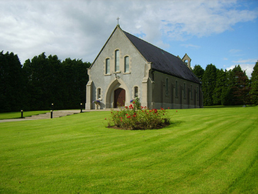 Saint Bridget's Catholic Churchchurch/chapel · 501 yd
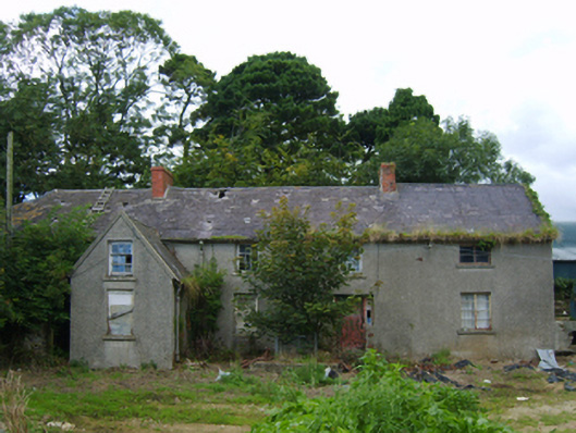 farm housefarm house · 714 yd
 Fulacht fia in Ballymore (scarawalsh By.)Fulacht fia · 1181 yd
 Fulacht fia in RockspringFulacht fia · 1511 yd
 Milshoge RockMountain / peak · 1746 yd
 Giants BedNamed rock · 1.1 mi
 Carrigroe HillMountain / peak · 1.4 mi
 The GroveWood · 1.7 mi
 The CoilWood · 1.8 mi
 Father Murphy CentreHeritage attraction · 3.4 mi
 Ferns Castle (in ruins)Castle, Anglo-Norman masonry castle · 3.4 mi
 CastleCastle, unclassified · 4.3 mi