What is recorded here
Fairy forts in County Limerick are often called raths, but the name does not make them human. This one sits in pasture on a gentle west-facing slope, its circular earth-and-stone bank partly absorbed into a field boundary while the interior has filled with dense overgrowth. It may have been a dwelling, a boundary marker, a child's climbing hill or a place people avoided after dark. The grass and shadow have erased the answer, leaving only a round ridge that still resists being fully explained.
In pasture, on very gentle W-facing slope in undulating terrain. Circular area (diam. c. 25m) defined by earth-and-stone bank, with external fosse (Wth 1.5m; D 0.2m) NW->E, SE->SW. Bank (int. H 0.9m; ext. H 1.05m), heavily masked by overgrowth, best preserved at SW before being incorporated into field boundary SW->NW. Interior is covered by dense overgrowth except for small clearing along fringe at S.
Compiled by: Denis Power
Date of upload: 26 August 2011
The monument record does not grant public access. Check the route and ask the landowner before entering private land.
- What survives
- Recorded monument
Places near here
 Milltown Castle (in ruins)Castle, tower house · 437 yd
 Man-made underground passage in Milltown NorthMan-made underground passage · 453 yd
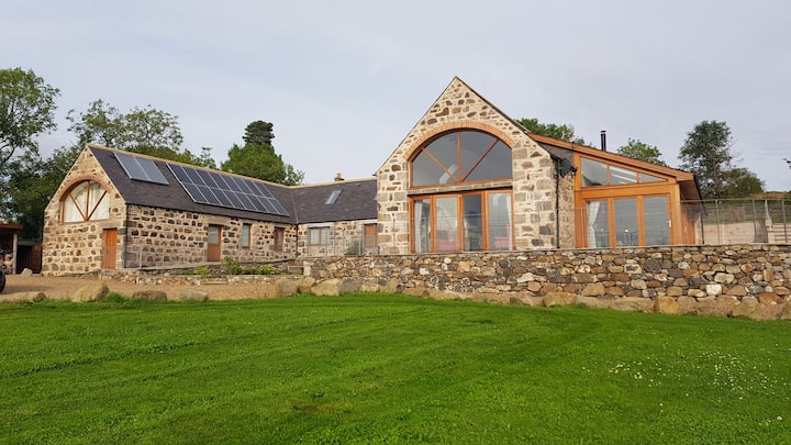 Enclosure in Milltown NorthEnclosure · 749 yd
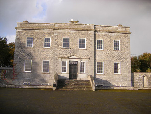 Altavilla Housecountry house · 877 yd
 Lismakeery Church (in ruins)Church · 1079 yd
 Lismakeery Castle (in ruins)Castle, tower house · 1338 yd
 Askeaton CastleHeritage attraction · 2.1 mi
 Holly IslandIslet · 3.5 mi
 TobernablahySpring · 3.6 mi
 St. Kieran's WellSpring · 4.1 mi
 Flat cemetery in CroaghFlat cemetery · 4.3 mi
 Little HeavenHeritage attraction · 4.6 mi