What is recorded here
Fairy fort in Milltown South is a circular earth-and-stone ring about twenty-eight metres across, set on a gentle east-facing slope in County Limerick. Its bank stands tallest on the east where the land falls away, but almost disappears at the south, leaving the interior slightly higher on the west and scattered with loose stone under pasture. People may have lived there, marked territory there, or simply avoided it because the fairies already did.
In pasture, on gentle E-facing slope. Circular area (27.5m N-S; 28.5m E-W) enclosed by earth-and-stone bank (int. H 0.45m; ext. H 1.25m). Bank is best preserved along E side where fall in terrain accentuates external height, and lowest at S (int. H 0.2m; ext. H 0.35m). Interior, under pasture, has loose stone scattered along verge; W half is slightly higher (H c. 0.3m) than E half.
Compiled by: Denis Power
Date of upload: 26 August 2011
The monument record does not grant public access. Check the route and ask the landowner before entering private land.
- What survives
- Recorded monument
Places near here
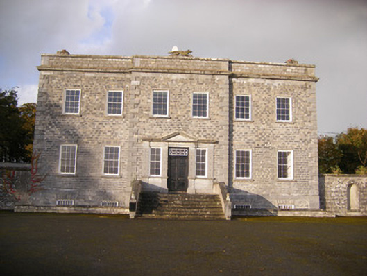 Altavilla Housecountry house · 579 yd
 Milltown Castle (in ruins)Castle, tower house · 596 yd
 Man-made underground passage in Milltown NorthMan-made underground passage · 614 yd
 Enclosure in Milltown NorthEnclosure · 897 yd
 Lismakeery Church (in ruins)Church · 1291 yd
 Lismakeery Castle (in ruins)Castle, tower house · 1513 yd
 Askeaton CastleHeritage attraction · 2.2 mi
 TobernablahySpring · 3.5 mi
 Holly IslandIslet · 3.6 mi
 St. Kieran's WellSpring · 3.9 mi
 Flat cemetery in CroaghFlat cemetery · 4.2 mi
 Little HeavenHeritage attraction · 4.7 mi