What is recorded here
Milltown South holds a broken oval of earth and stone, measuring thirty metres across on a limestone ridge. The bank still stands half a metre high at the east and southwest, but it thins to a shallow scarp toward the south. Cattle graze the interior now, stepping over exposed rock and the faint ditch that once marked the boundary. People may have lived there before the land became pasture, using the ridge for visibility and the stone for foundation. The fort lost its shape in time, yet the outline remains clear enough to imagine doors, fires and arguments inside.
In pasture, atop ridge, in area of outcropping limestone. Oval area (25.5m N-S; 30.5m E-W) enclosed by earth-and-stone bank, with external fosse (Wth 0.8m; D 0.2m) ENE->E and ESE->S. Bank (int. H 0.4m; ext. H 0.6m), best preserved at E and SW, lowers ESE->SSE becoming scarp-like (H 0.1m; Wth 2.9m). Interior, under pasture with exposed limestone in places, slopes down to E.
Compiled by: Denis Power
Date of upload: 26 August 2011
The monument record does not grant public access. Check the route and ask the landowner before entering private land.
- What survives
- Recorded monument
Places near here
 Fulacht fia in LismakeeryFulacht fia · 866 yd
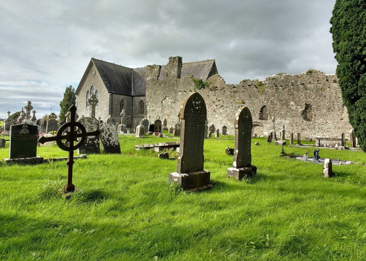 Grave YardGraveyard · 883 yd
 Lismakeery Church (in ruins)Church · 895 yd
 Milltown Castle (in ruins)Castle, tower house · 913 yd
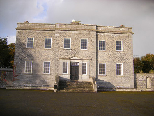 Altavilla Housecountry house · 927 yd
 Lismakeery Castle (in ruins)Castle, tower house · 1065 yd
 Askeaton CastleHeritage attraction · 2.2 mi
 Holly IslandIslet · 3.5 mi
 TobernablahySpring · 3.6 mi
 St. Kieran's WellSpring · 3.9 mi
 Flat cemetery in CroaghFlat cemetery · 4.5 mi
 Little HeavenHeritage attraction · 4.9 mi