What is recorded here
Fairy fort in Mellon, County Limerick: a roughly circular earthwork, 26.7m by 29.5m, with a scarped edge still standing 1.8m high at the north, truncated where the road cut through. Under pasture, the ground rises gently toward the centre, as if the fort is still breathing beneath the grass. People may have lived there before roads, or perhaps the fairies did, shaping the slope to suit themselves while humans passed above.
In pasture, on gently NW-facing slope, immediately E of public road and N of avenue. Roughly circular area (26.7m N-S; 29.5m E-W) defined by scarped edge WNW->SW, but truncated by road SW->WNW. Scarp is best preserved at N (H 1.8m; Wth 10.1m) but very indistinct E->SW. Interior, under pasture, rises very gently towards centre.
Compiled by: Denis Power
Date of upload: 26 August 2011
The monument record does not grant public access. Check the route and ask the landowner before entering private land.
- What survives
- Recorded monument
Places near here
 Grave YardGraveyard · 306 yd
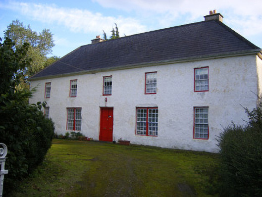 Mount Pleasantfarm house · 607 yd
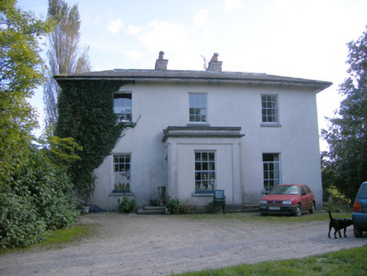 Rockfield Housecountry house · 825 yd
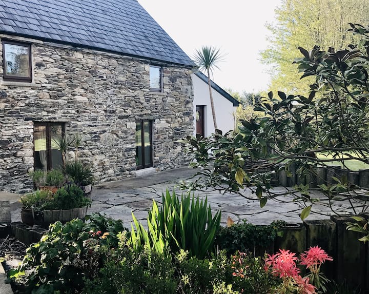 Enclosure in BallynacarrigaEnclosure · 1453 yd
 Rinekirk PointHeadland · 1551 yd
 Mellon PointHeadland · 1.2 mi
 Grass IslandIslet · 1.2 mi
 Castle (in ruins)Castle, tower house · 1.3 mi
 Shanpallas CastleCastle · 1.3 mi
 Sweet ChestnutSweet Chestnut · 1.6 mi
 Ringmoylan PierVisitor information · 2.5 mi
 Bunratty Castlehouse · 2.7 mi