What is recorded here
Mauricetown held a thirty-metre earthen ring on a marshy slope before ploughing erased it. The 1841 survey captured the embankment, but human hands or patience removed the mark. Fairies may have taken the stones back, or farmers may have simply wanted more pasture. Either way, the fort vanished because visibility mattered less than use.
In marshy pasture, on break in NE-facing slope. Monument, depicted as embanked circular enclosure (diam. c. 30m) on 1841 OS 6-inch map, has been levelled. No trace of monument evident when inspected (but see notes field- DP July 2010)
Compiled by: Denis Power
Date of upload: 26 August 2011
The monument record does not grant public access. Check the route and ask the landowner before entering private land.
- What survives
- Recorded monument
Places near here
 post boxpost box · 939 yd
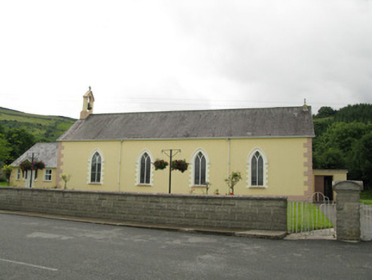 Saint Ita's Catholic Churchchurch/chapel · 970 yd
 Mass-rock in GortnaclohyMass-rock · 1574 yd
 IndicatedFairy fort / earthen ringfort · 1.2 mi
 Ballagh MountainMountain / peak · 1.4 mi
 Glenduff CastleCastle, tower house · 1.4 mi
 Saint Ite's WellSpring · 2.0 mi
 Dotted outlineBawn · 2.1 mi
 Mullaghareirk - Banane LoopWalking route · 3.0 mi
 Rock HillMountain / peak · 3.9 mi
 TobereenalaffinaSpring · 6.1 mi
 Limerick GreenwayWalking route · 7.9 mi