What is recorded here
Maulnagirra holds a genuine ringfort, not a fairy tale. A stone-faced earth bank, one and a half metres high, encloses a circular pasture space about nineteen metres across, with a narrow gap facing north-northwest. The line has been absorbed into a field fence, yet the shape remains clear enough to walk around and imagine: a small defended or occupied place, made visible still by grass, rain and the patience of its border.
In pasture, on NW-facing slope. Circular area (19m N-S; 19.6m E-W) enclosed by earthen, stone-faced bank (H 1.5m). Bank incorporated in field fence system to NE. Gap (Wth 2.8m) in bank to NNW.
The above description is derived from the published 'Archaeological Inventory of County Cork. Volume 1: West Cork' (Dublin: Stationery Office, 1992). In certain instances the entries have been revised and updated in the light of recent research.
Date of upload/revision: 14 January 2009
The monument record does not grant public access. Check the route and ask the landowner before entering private land.
- What survives
- Recorded monument
Places near here
 Man-made underground passage in MaulnagirraMan-made underground passage · 420 yd
 Burial ground in BallyrireeBurial ground · 915 yd
 Country house in AdrigoolCountry house · 1.2 mi
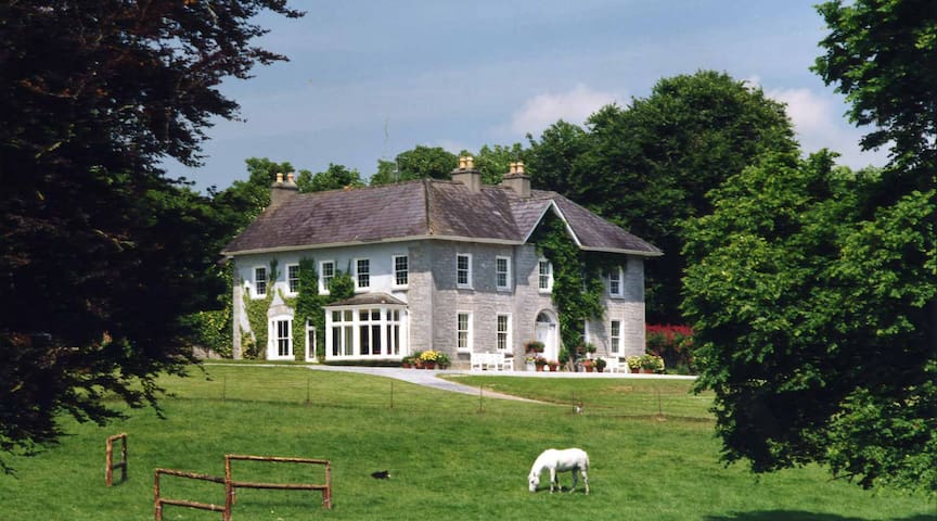 Country house in KeamoreCountry house · 1.4 mi
 Bláth na GréineWood · 1.5 mi
 Leap waterfallHeritage attraction · 1.7 mi
 Sitka SpruceSitka Spruce · 1.8 mi
 Myross PointHeadland · 2.3 mi
 Wild Atlantic WayVisitor information · 2.6 mi
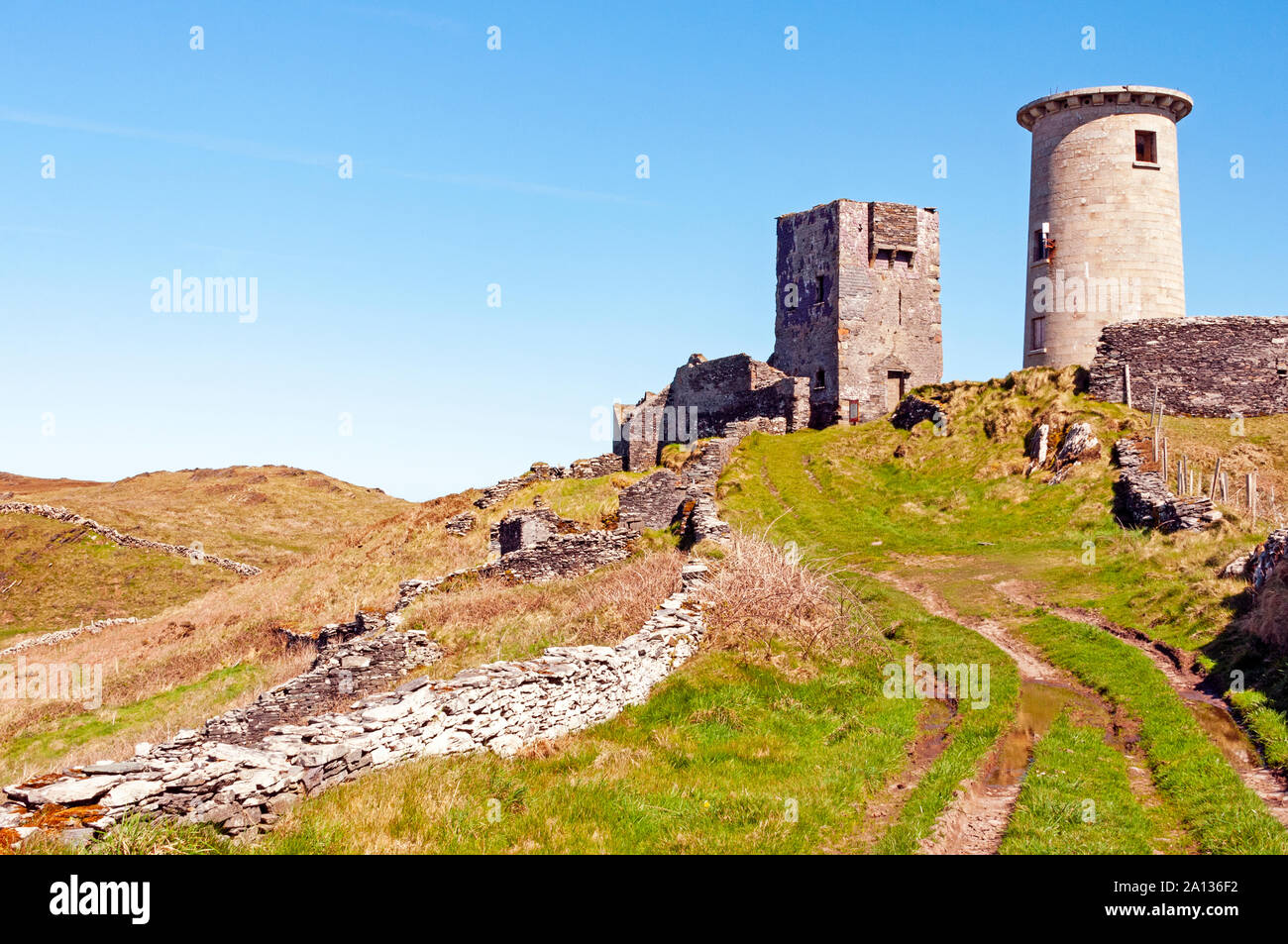 LookoutMountain / peak · 2.8 mi
 Lettertinlish Castle (Ruins)Castle · 3.3 mi
 Coolngrane Fairy FortFort · 3.6 mi