What is recorded here
Maulmacredmond holds a circular earthen ringfort on an NNE-facing slope, its broken northern bank and raised interior revealing a place built to resist the hill rather than submit to it. The measurement is precise, but the life inside remains hidden: someone stood at that gap, watched the valley, and shaped the earth until it could be lived in. Fairy fort is the local name, yet the structure is human in its clarity.
In pasture, on NNE-facing slope. Circular area (26.3m N-S; 25.9m E-W) enclosed by earthen bank (H 1.7m); external fosse defined by second earthen bank (H 1m) NNE->ESE, with shallow outer fosse (D 0.2m). Break in bank to N (Wth 3m). Interior raised on NE side to compensate for hillslope.
The above description is derived from the published 'Archaeological Inventory of County Cork. Volume 1: West Cork' (Dublin: Stationery Office, 1992). In certain instances the entries have been revised and updated in the light of recent research.
Date of upload/revision: 14 January 2009
The monument record does not grant public access. Check the route and ask the landowner before entering private land.
- What survives
- Recorded monument
Places near here
 Castle (Site of)Castle, unclassified · 767 yd
 Man-made underground passage in CloghgriffinMan-made underground passage · 1152 yd
 Templequinlan Church (in Ruins)Church · 1164 yd
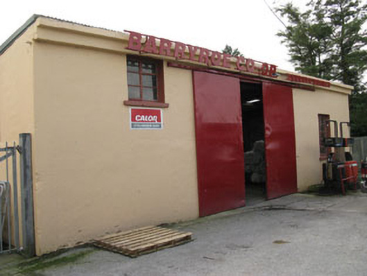 Barryroe Creamerycreamery · 1189 yd
 IndicatedFairy fort / earthen ringfort · 1203 yd
 Michael Collins CentreMuseum · 1.4 mi
 Castle Arundel (Site of)Castle, unclassified · 1.7 mi
 Inchydoney & Coast ViewsViewpoint · 2.0 mi
 Views Simon's CoveViewpoint · 2.1 mi
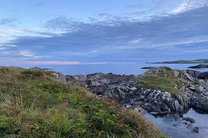 Interesting Cliffs RingCliff · 2.2 mi
 Stoney Beach RingBeach / strand · 2.4 mi
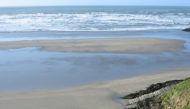 Inchydoney BeachBeach / strand · 2.5 mi