What is recorded here
Maulashangarry holds a true ringfort, not a fairy tale, measuring thirty-three metres across on a gentle south-facing slope. Its earthen bank stands one metre twenty high beside a silted fosse, while a hidden underground passage cuts through the interior pasture. The southern gap is five metres wide and the western gap two metres with a causeway, inviting entry rather than blocking it. People may have walked that causeway under moonlight, believing they visited fairies when they actually used a human-built shelter.
In pasture, on gentle S-facing slope. Circular area (33.8m E-W) enclosed by earthen bank (H 1.2m); external fosse (D 1.1m) S->N; silted-up external fosse elsewhere. Break in bank to S (Wth 5m); second gap to WSW (Wth 2m), with causeway. Man-made underground passage (CO107-051002-) in interior.
The above description is derived from the published 'Archaeological Inventory of County Cork. Volume 1: West Cork' (Dublin: Stationery Office, 1992). In certain instances the entries have been revised and updated in the light of recent research.
Date of upload/revision: 14 January 2009
The monument record does not grant public access. Check the route and ask the landowner before entering private land.
- What survives
- Recorded monument
Places near here
 Man-made underground passages (sites of)Man-made underground passage · 1 yd
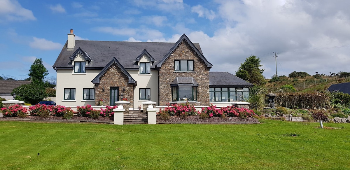 Country house in UnderhillCountry house · 390 yd
 Man-made underground passage in UnderhillMan-made underground passage · 591 yd
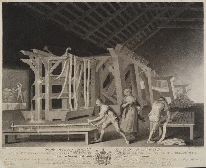 Bleach MillMill, bleaching · 873 yd
 Castle (Site of)Castle, Anglo-Norman masonry castle · 1328 yd
 Dunmanway Heritage CentreVisitor information · 1396 yd
 Mohona WoodWood · 1397 yd
 Graveyard in Dunmanway NorthGraveyard · 1.1 mi
 Mount GunneryMountain / peak · 2.3 mi
 Funmanway Adventure LandHeritage attraction · 2.6 mi
 Graveyard in ToughmacdermodyGraveyard · 3.1 mi
 Ballynacarriga CastleCastle, tower house · 3.3 mi