What is recorded here
Maulagh in County Kerry, Ireland, held two earthen ringforts when surveyed in the 1840s, but only one remains clearly identified. The second vanished into local memory, becoming a fairy fort rather than a failed survey. That is not a mistake. It is the landscape refusing to be owned through numbers alone. The earth keeps what it wants and hides the rest until humility returns.
One of two raths (see KE066-059001-) recorded in the 1840s in the SW end of the townland (OSNB, Aghadoe, no. 1, 46). It has not been precisely located.
Compiled by: Elizabeth Byrne, Ursula Egan and Sheila Ronan, Archaeological Survey Unit, University College, Cork.
Date of upload: 31 January 2011
The monument record does not grant public access. Check the route and ask the landowner before entering private land.
- What survives
- Recorded monument
Places near here
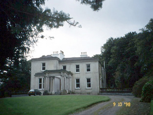 Lakeviewhouse · 359 yd
 Killalee Church (in Ruins)Church · 676 yd
 Fulacht FianFulacht fia · 811 yd
 Enclosure in Dromin (magunihy By., Lahard Ed)Enclosure · 1187 yd
 Castle (in Ruins)Castle, tower house · 1.4 mi
 Japanese pagoda treeJapanese pagoda tree · 1.4 mi
 CastleCastle, tower house · 1.5 mi
 Rabbit or Brown IslandIslet · 1.6 mi
 Dunloe Ogham StonesHeritage attraction · 1.7 mi
 Aghadoe Early Medieval Ecclesiastical SiteHeritage attraction · 1.9 mi
 InnisfallenIsland · 2.2 mi
 English hollyEnglish holly · 2.3 mi