What is recorded here
Fairy fort / earthen ringfort in Marshallspark,treanlaur stands in undulating pastureland as a circular rath nearly thirty metres across, defined by three banks and two fosses. Holt (1912, 224-5) hit flagstones while planting the interior and presumed they covered a man-made underground passage. That hidden chamber may have stored grain, hidden people or simply confused every planner who ever trusted the surface.
In undulating pastureland. This circular rath (int. diam. c. 30.5m), in fair condition, is defined by three banks and two intervening fosses. The inner bank and inner fosse are visible all round. The middle bank and outer fosse survive from E through S to NNW. A field wall cuts through them at NNW and E and no visible surface trace of them survives to its NE. The outer bank is visible only at WSW. Holt (1912, 224-5) noted that when an attempt was made to plant the interior, flagstones were encountered which he presumed were the roof of a Man-made underground passage. The SW half of the rath was overgrown with brambles and bushes. (McCaffrey 1952, 146-7, no. 16)
This monument is subject to a preservation order made under the National Monuments Acts 1930 to 2014 (PO no. 3/1985).
Compiled by: Galway Archaeological Survey, UCG
Date of upload: 16 February 2018
The monument record does not grant public access. Check the route and ask the landowner before entering private land.
- What survives
- Recorded monument
Places near here
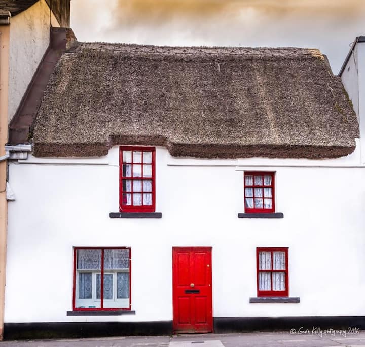 Stafort HouseRuins · 386 yd
 Hilltop enclosure in TreanlaurHilltop enclosure · 585 yd
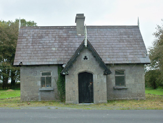 Rinville Parkgate lodge · 613 yd
 RalpeecaFairy fort / earthen ringfort · 647 yd
 South WoodWood · 778 yd
 CastleCastle, tower house · 883 yd
 North WoodWood · 1030 yd
 Castle (in Ruins)Castle, tower house · 1422 yd
 Leadmine HillMountain / peak · 1.1 mi
 Ardfry PointHeadland · 2.0 mi
 Goose IslandIslet · 2.2 mi
 InishcorraIslet · 2.5 mi