What is recorded here
Marblehill holds a forty-metre circular rath with two banks and a shadowy gap at the southeast edge. The earth remains firm enough to suggest people still valued the shape, even when its original purpose faded from memory. A hidden passage and an ice house now occupy the northeast interior, turning an ancient boundary into a layered cache for human wants. The fort does not need fairy tales to seem alive because it still serves the living.
On a rise in hilly pastureland. Circular rath (diam. 40m), in fair condition, defined by two banks and an intervening fosse. A gap (Wth 5.5m) in the inner bank at SE appears to be original. The fosse and outer bank survive from S through W to N. There is a Man-made underground passage (GA125-124002-) in the NE sector of the interior. An ice house (GA125-124003-) has been built into the inner bank at NE.
Compiled by: Galway Archaeological Survey, UCG
Date of upload: 16 February 2018
The monument record does not grant public access. Check the route and ask the landowner before entering private land.
- What survives
- Recorded monument
Places near here
 AltarAltar · 90 yd
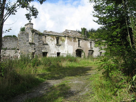 Marble Hilloutbuilding · 308 yd
 Country house in MarblehillCountry house · 312 yd
 CaveMan-made underground passage · 1426 yd
 Coolfin Castle (in ruins)Castle, tower house · 4.1 mi
 Site of CastleCastle, unclassified · 4.3 mi
 TullymoreMountain / peak · 5.0 mi
 Oak WoodForest · 5.4 mi
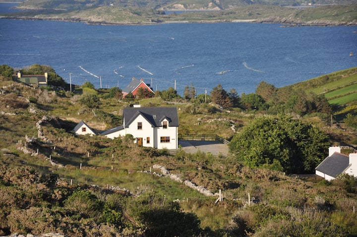 KnocknamonaMountain / peak · 5.5 mi
 Maguire SistersMemorial · 5.5 mi
 Bog WoodForest · 5.6 mi
 Friar's IslandIslet · 7.3 mi