What is recorded here
Fairy fort in Mahoonagh More is a circular earthen ring about twenty-eight metres across, marked by a low scarped edge and a shallow external ditch. Cattle have worn gaps through the bank at several points, suggesting the interior still invites entry rather than resisting it. The marshy pasture inside may have hidden a home, a shrine or a gathering place before the field swallowed the truth.
In level pasture. Circular area (27.4m N-S; 28.2m E-W) defined by a scarped edge (H 0.6m; Wth 1.1m), with external fosse (D 0.4m; Wth 2.9m) E->SSE. Field boundary runs along outer line of infilled fosse SSE->NW, so that site occupies NW corner of field. Gaps in scarp at NNE, NE, E and S are caused by cattle accessing interior. Interior is level and under marshy pasture.
Compiled by: Denis Power
Date of upload: 26 August 2011
The monument record does not grant public access. Check the route and ask the landowner before entering private land.
- What survives
- Recorded monument
Places near here
 Enclosure in Mahoonagh BegEnclosure · 705 yd
 water pumpwater pump · 919 yd
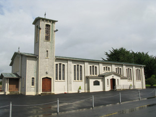 Catholic Church of Saint John the Baptistchurch/chapel · 919 yd
 BarrowBarrow, ring-barrow · 1091 yd
 Castle MahonCastle · 1186 yd
 Ballynoe Castle (in ruins)Castle, tower house · 2.2 mi
 Garbally WellSpring · 3.4 mi
 LaghtpatrickSpring · 3.7 mi
 European ashEuropean ash · 3.9 mi
 Ballagh MountainMountain / peak · 5.9 mi
 Limerick GreenwayWalking route · 6.0 mi
 Sugar HillMountain / peak · 6.9 mi