What is recorded here
No fairy is named in the facts, but the shape is clear: a circular earthworks in Mahoonagh More, with a bank, fosse and level interior large enough for a small dwelling or enclosure. Cattle and farm machines have worn part of it flat, which is also why it still exists: ordinary use forgot to erase it. The quarry depression inside suggests people took earth from within the circle to build or change the boundary, turning the place into a record of its own making.
In pasture, on slight W-facing slope. Circular area (diam. c. 35m) enclosed by earthen bank (int. H 0.5m; ext. H 3m) with an external fosse (D 1.25m; Wth 4.95m). Bank and fosse are barely perceptible SE->SSW; bank probably levelled into fosse to allow access into interior by cattle and farm machinery. Just inside line of bank where it has been levelled is a circular quarry depression (diam. 8m; D 0.7m) from which material may have been excavated to infill fosse. A field boundary runs along outer edge of fosse W->NW. Interior is level and partially covered by overgrowth.
Compiled by: Denis Power
Date of upload: 26 August 2011
The monument record does not grant public access. Check the route and ask the landowner before entering private land.
- What survives
- Recorded monument
Places near here
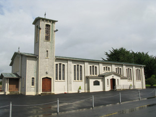 Catholic Church of Saint John the Baptistchurch/chapel · 408 yd
 water pumpwater pump · 439 yd
 Enclosure in Mahoonagh BegEnclosure · 467 yd
 Castle MahonCastle · 670 yd
 BarrowBarrow, ring-barrow · 1604 yd
 Ballynoe Castle (in ruins)Castle, tower house · 2.2 mi
 Garbally WellSpring · 3.3 mi
 Sunday WellSpring · 3.8 mi
 European ashEuropean ash · 4.2 mi
 Ballagh MountainMountain / peak · 5.6 mi
 Limerick GreenwayWalking route · 6.0 mi
 Sugar HillMountain / peak · 6.9 mi