What is recorded here
Half a kilometre from the last road, a grassy ring still holds its shape on the northern slope. The flat floor measures thirty-three metres, the bank rises a metre and a half, and the ditch beside it swallows nine metres at its widest point. In the centre lies a rectangular shadow of broken stone, seven metres long and barely three wide, with a gap where a door may have stood. People called it a fairy fort because the shape refused to explain itself, but the dimensions suit human hands and human hunger. The stream beside it has run for longer than memory, carrying away every name that lived inside the ring.
Situated on a N-facing slope with a small SSW-NNE stream immediately to the W. This is a grass and rush-covered D-shaped area (dims 33m N-S; 24m E-W; int. dims 28m N-S; 23.3m E-W) defined by a grass-covered earthen bank (Wth 4-6m; int. H 0.3-0.7m; ext. H 1-1.6m) and an external rounded fosse (Wth of top 5m at N to 9m at S; D 0.8m), with a scarp (H 4m) down to the stream on the straight W side. There is an entrance (Wth c. 4m), probably not original, at NE. A rectangular house site (int. dims 7m N-S; 2.8m E-W) at the centre is defined by a grass-covered stone spread (Wth 1m; H 0.3m) with a doorway (Wth 1m) in the E wall.
The above description is derived from 'The Archaeological Inventory of County Leitrim' compiled by Michael J. Moore (Dublin: Stationery Office, 2003). In certain instances the entries have been revised and updated in the light of recent research.
Date of upload: 23 September 2008
The monument record does not grant public access. Check the route and ask the landowner before entering private land.
- What survives
- Recorded monument
Places near here
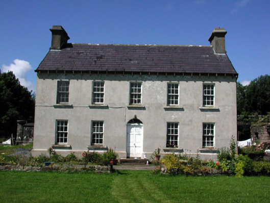 Glasdrumman Housefarm house · 1428 yd
 Sweat Ho.Sweathouse · 1.2 mi
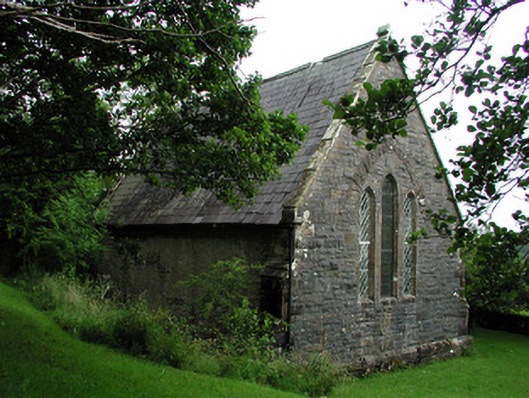 Creevelea Presbyterian Churchchurch/chapel · 1.2 mi
 Tober BuayHoly well · 1.3 mi
 Carrane HillCliff · 3.9 mi
 Drummans IslandIslet · 4.2 mi
 Seltannasaggart SE SlopeMountain / peak · 4.4 mi
 European ashEuropean ash · 4.7 mi
 Black PoplarBlack Poplar · 4.7 mi
 Scardan WaterfallWaterfall · 4.7 mi
 Corry IslandIslet · 5.0 mi
 Old HallCastle, hall-house · 5.4 mi