What is recorded here
Fairy fort / earthen ringfort in Lowrath North: A circular earthwork, 48m across, with an 8m entrance facing east-southeast. It sits on a west-facing slope where shadow lingers after noon. People called it a fairy fort because the shape defied ordinary use, yet the entrance aligns with the rising sun. Perhaps it marked a boundary between human fields and unseen life, or perhaps it was simply a home for someone who preferred darkness. Either way, the earth remembers the choice.
Located on the W-facing slope of a slight NE-SW spur. The cropmark of a circular enclosure (diam. c. 48m N-S; c. 45m E-W) defined by a single fosse feature is visible on Google Earth (27/06/2019). There is an entrance (Wth c. 8m) at ESE. It was first reported by Anthony Murphy.
See the attached enhanced view from Google Earth
Compiled by: Michael Moore
Date of upload; 11 November 2019
The monument record does not grant public access. Check the route and ask the landowner before entering private land.
- What survives
- Recorded monument
Places near here
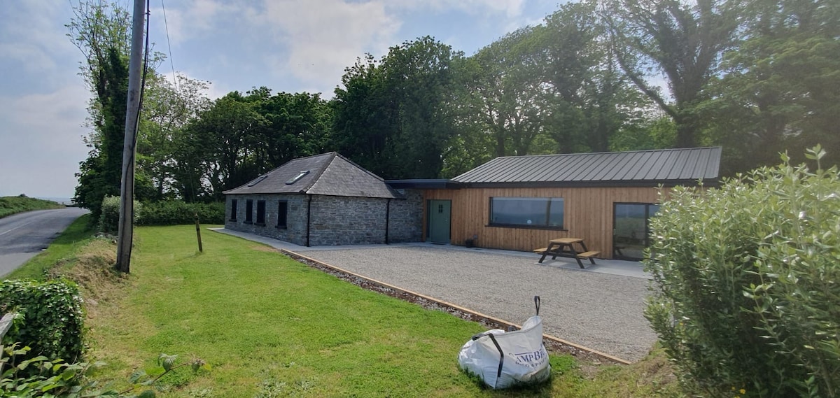 Enclosure in Lowrath NorthEnclosure · 480 yd
 Enclosure in RathbristEnclosure · 775 yd
 RathneestinCastle, tower house · 1261 yd
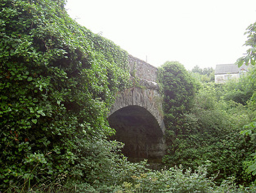 bridgebridge · 1270 yd
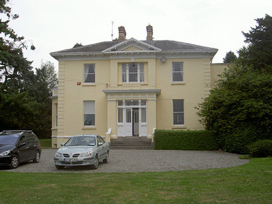 Rathbrist Housecountry house · 1313 yd
:no_upscale()/cdn.vox-cdn.com/uploads/chorus_asset/file/25593391/County_Louth_6th.jpg) LouthMountain / peak · 1680 yd
LouthMountain / peak · 1680 yd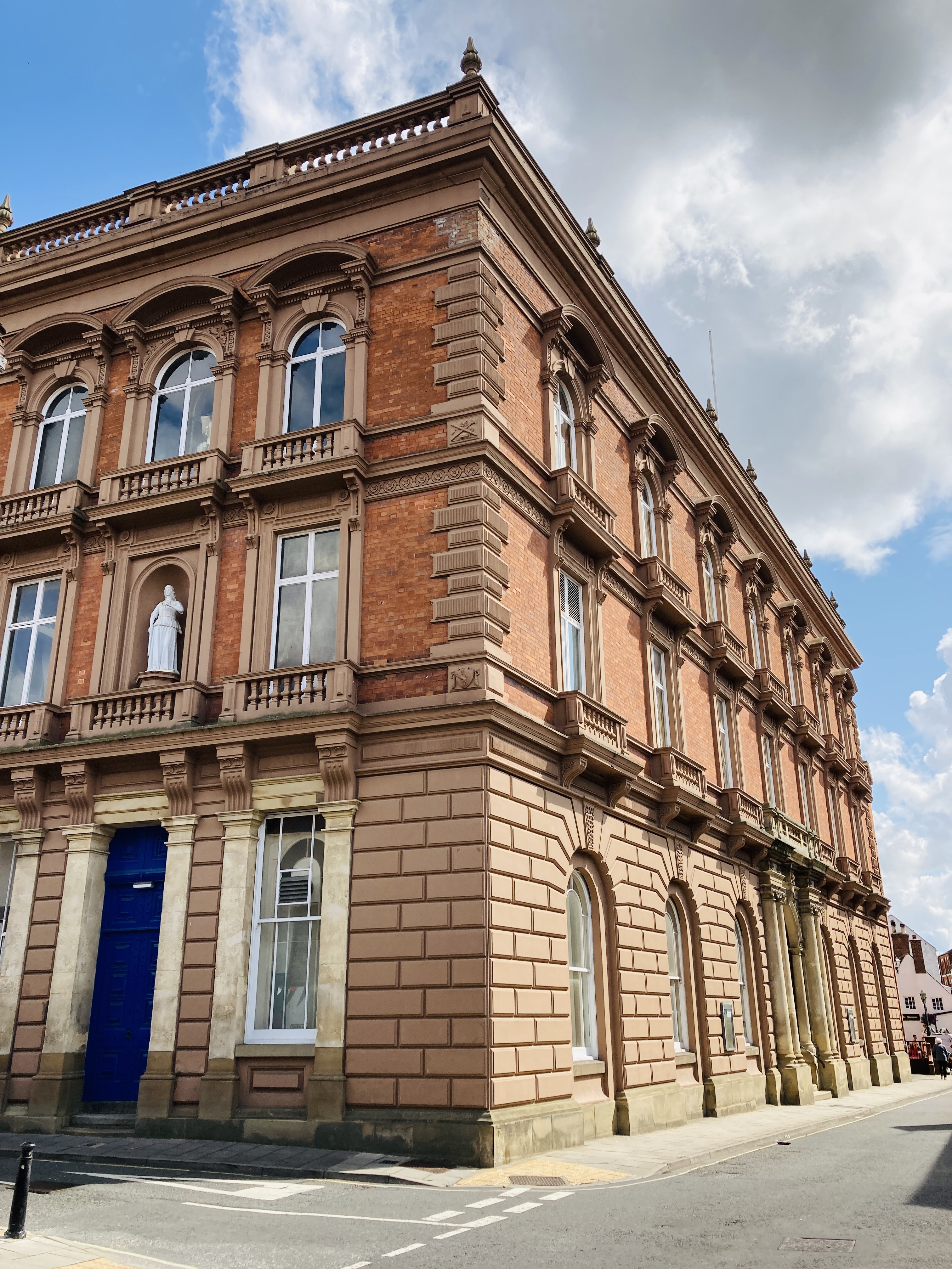 MoatCastle, motte and bailey · 1.0 mi
 SycamoreSycamore · 1.4 mi
 European YewEuropean Yew · 1.5 mi
 Flat cemetery in AnnaheanFlat cemetery · 4.5 mi
 Matthew's HillMountain / peak · 5.8 mi
 Photo GalleryHeritage attraction · 7.1 mi