What is recorded here
Fairy fort in Loughconway, County Leitrim, holds a broad earthen ring on a drumlin slope, large enough for people yet named as if fairies still own it. The bank and ditch have survived beside ordinary fields, preserving a boundary that may have marked residence, ritual or exclusion. Its exact entrance has vanished under grass and time, but the circle remains clear enough to walk around and imagine what it kept out or gathered in.
Located towards the top of the S-facing slope of a drumlin. This is a grass and rush-covered circular area (int. diam. 25.4m N-S; 25m E-W) defined by an earthen bank (at NW: Wth 3.1m; int. H 0.4m; ext. H 1.1m) with some bushes and a flat-bottomed external fosse (at NW: Wth of top 4.8m; D 0.45m). The original entrance is not identified, but the monument is surrounded by an earthen field bank NE-S-SW.
The above description is derived from 'The Archaeological Inventory of County Leitrim' compiled by Michael J. Moore (Dublin: Stationery Office, 2003). In certain instances the entries have been revised and updated in the light of recent research.
Date of upload: 23 September 2008
The monument record does not grant public access. Check the route and ask the landowner before entering private land.
- What survives
- Recorded monument
Places near here
 Enclosure in LoughconwayEnclosure · 100 yd
 Fairy fort / stone ringfort in AghakilmoreFairy fort / stone ringfort · 761 yd
 bridgebridge · 1626 yd
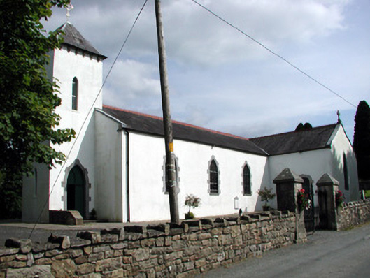 Saint Brigid's Catholic Churchchurch/chapel · 1.0 mi
 Rusheen IslandIslet · 1.7 mi
 Sheemore Ambush MemorialMonument · 1.8 mi
 Small IslandIslet · 1.9 mi
 Leabaidh DermotCave · 1.9 mi
 Castle JohnCastle · 1.9 mi
 Shannon-Erne WaterwayVisitor information · 3.4 mi
 Sit of Breifny CastleCastle, tower house · 3.4 mi
 Battle of Áth an Chipbattle · 3.7 mi