What is recorded here
Fairy fort / earthen ringfort in Loughannacrannoge is a fairy fort or earthen ringfort in Loughannacrannoge, County Sligo, Ireland. The raised circular area measures 23.7m across and is enclosed by an earth and stone bank between 4.8m and 6.5m wide. A two-metre break at the east marks the original entrance, while the western bank now forms a field boundary.
Situated on a rise in undulating pasture. Raised circular area (diam. 23.7m) enclosed by a bank of earth and stone (Wth. 4.8m - 6.5m; int. H 0.6m - 1.2m). From W-NW-NNW this has been incorporated into a field boundary. Fron NNE-NE-ENE it had previously been incorporated into a field boundary which has since been removed. No fosse. Break in bank at E (Wth. 2m) represents original entrance.
Compiled by: Patrick F. O'Donovan
Date of upload: 19 January 2011
The monument record does not grant public access. Check the route and ask the landowner before entering private land.
- What survives
- Recorded monument
Places near here
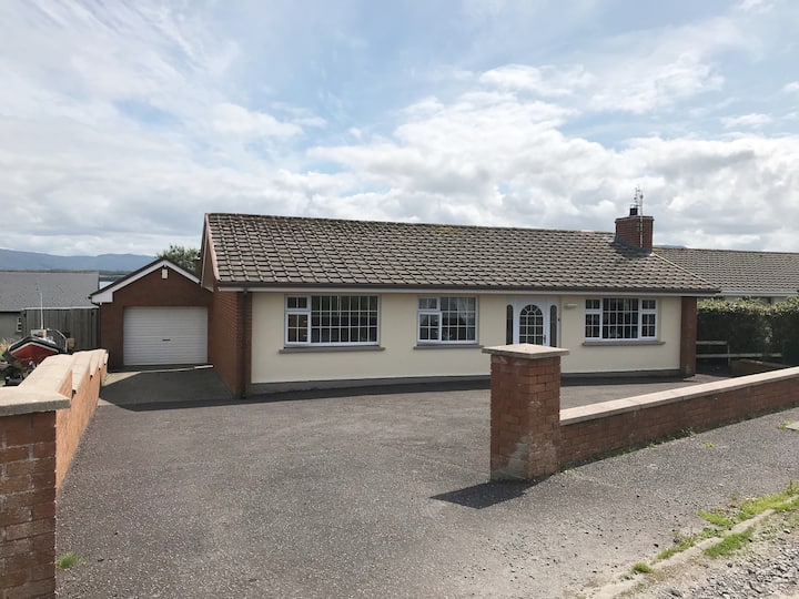 Hut site in BunnafediaHut site · 341 yd
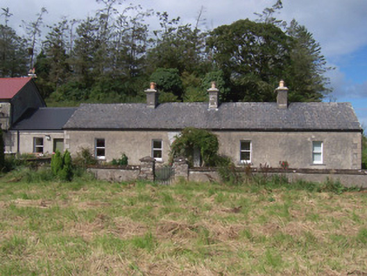 The Swallow Loftchurch/chapel · 708 yd
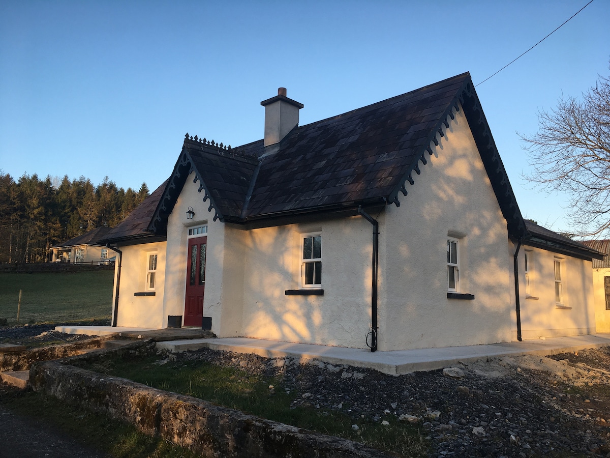 Enclosure in Bunnafedia,carrowconorEnclosure · 718 yd
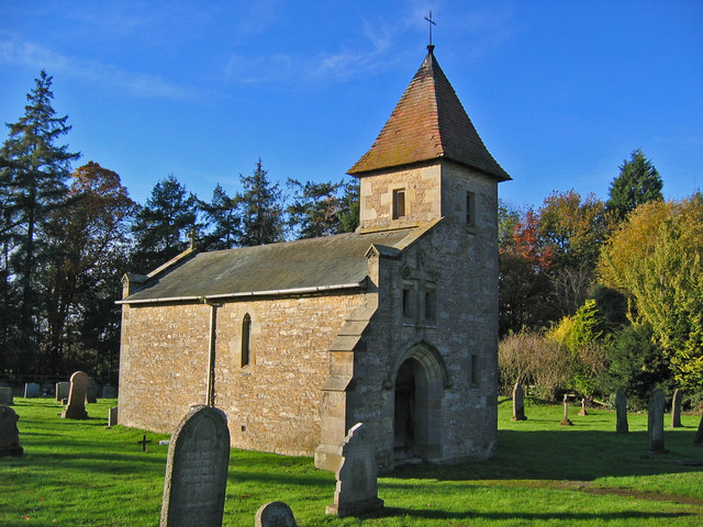 R. C. Chapel in ruinsChurch · 741 yd
 Giant's GraveArchaeological place · 1141 yd
 Bawn in Longford DemesneBawn · 1221 yd
 European ashEuropean ash · 1594 yd
 Pigeonpark WoodForest · 1670 yd
 CastleCastle, ringwork · 1.5 mi
 Lahanacappul IslandIslet · 1.7 mi
 Ballinlig PointHeadland · 1.9 mi
 Portavaud PointHeadland · 2.0 mi