What is recorded here
No visible fort remains at Lotteragh Upper, but the ground still holds a shallow circular depression and faint earthworks that suggest a forgotten rath. Cattle grass grows across the site, and the boundary stones mark more than a field edge. The shape may have been a dwelling, a boundary, or a ceremony place before human memory faded. What is certain is that the land was shaped, not left random.
In pasture, near base of N-facing slope. Sub-circular area (23.5m N-S; 27m E-W) defined by scarped edge with waterlogged external fosse (D 0.9m; Wth 2m). Scarp (H 1.55m; Wth 4m), best preserved W->NE, has been denuded by cattle along SW arc. Fosse, best preserved W->N, widens into pond-like area N->E which is fed by waste pipe at NW. Field boundaries abut scarp at S and N. Entrance (Wth 7m) at SW. Level interior, under pasture, slopes down to SE.
Compiled by: Denis Power
Date of upload: 26 August 2011
The monument record does not grant public access. Check the route and ask the landowner before entering private land.
- What survives
- Recorded monument
Places near here
 Bruree Castle Lower (in ruins)Castle, Anglo-Norman masonry castle · 656 yd
 Eagle Mount MoteCastle, motte · 871 yd
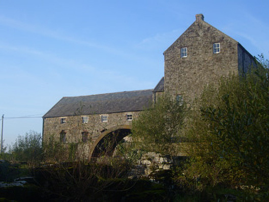 The Old Millmill (water) · 963 yd
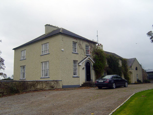 Glebe Houserectory/glebe/vicarage/curate's house · 972 yd
 OutlinedGraveyard · 1206 yd
 IndicatedHoly well · 1287 yd
 King John's CastleCastle · 4.6 mi
 Saint Derivla's WellSpring · 4.9 mi
 Lady's WellSpring · 5.0 mi
 KnockfeerinaMountain / peak · 6.4 mi
 Famine stoneMemorial · 7.0 mi
 Flat cemetery in Kiltenan SouthFlat cemetery · 9.4 mi