What is recorded here
Fairy fort in Lotteragh Lower is a circular grassy hollow about twenty metres across, marked by a faint scarped edge and shallow outer ditch on an upper slope facing northeast. It is the kind of place people once called a fairy fort because its boundary is so thin it seems to appear and disappear under foot. A person walking that pasture at dusk might have felt the ground tilt inward, as if the land were inviting them into a room it had built for itself.
In pasture, on upper slopes of broad rise facing NNE. Circular area (20m N-S; 20m E-W) defined by scarped edge (H 0.25m; Wth 1.75m) with external fosse (D 0.2m; Wth 2.4m). Enclosing element is barely perceptible NNW->NNE and ESE->WNW. Interior slopes down gently to NNE; entire site is under grass.
Compiled by: Denis Power
Date of upload: 26 August 2011
See attached ASI aerial photograph ASIAP – 306/8 on 13/04/2002
The monument record does not grant public access. Check the route and ask the landowner before entering private land.
- What survives
- Recorded monument
Places near here
 Bruree Castle Lower (in ruins)Castle, Anglo-Norman masonry castle · 476 yd
 Enclosure in Dromacummer WestEnclosure · 734 yd
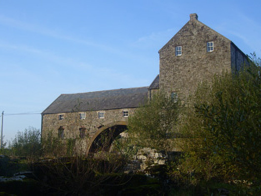 The Old Millmill (water) · 1255 yd
 BarrowBarrow, ring-barrow · 1266 yd
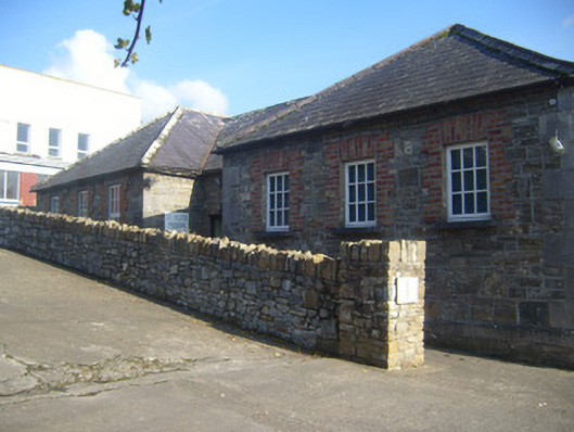 De Valera Museumschool · 1408 yd
 Eagle Mount MoteCastle, motte · 1494 yd
 King John's CastleCastle · 4.8 mi
 Saint Derivla's WellSpring · 5.0 mi
 Lady's WellSpring · 5.4 mi
 KnockfeerinaMountain / peak · 6.2 mi
 Famine stoneMemorial · 6.8 mi
 Flat cemetery in Kiltenan SouthFlat cemetery · 9.2 mi