What is recorded here
Longfield Otra preserves a broad grassy ridge where a circular platform still rises thirty-six metres across, though field banks now cut through its middle like scars. The 1834 map labelled it a fort in gothic script, yet no entrance or ditch remains visible to mark how people entered or defended the space. It may have been a home, a boundary marker, or a forgotten gathering place before plough lines and paths divided it. The earth keeps its shape even when human memory fades, waiting for someone to walk the perimeter and imagine what life moved inside that quiet circle.
Situated on a broad WNW-ESE ridge. It is depicted as a D-shaped feature (dims c. 40m NNE-SSW; c. 25m WNW-ESE) truncated by a NNE-SSW field bank at W and described as a 'fort' in gothic lettering only on the 1834 edition of the OS 6-inch map. It is visible as a slightly raised and grass-covered circular platform (diam. 36.4m NE-SW) divided by a NNE-SSW field bank and also by a WNW-ESE field bank and path. There is no visible fosse or entrance, but the perimeter is most clearly visible NE-SE.
The above description is derived from the published 'Archaeological Inventory of County Monaghan' (Dublin: Stationery Office, 1986). In certain instances the entries have been revised and updated in the light of recent research.
Date of revision: 28 July 2017
The monument record does not grant public access. Check the route and ask the landowner before entering private land.
- What survives
- Recorded monument
Places near here
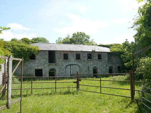 Capraghoutbuilding · 616 yd
 Grave YardGraveyard · 1136 yd
 Ruins of Old ChurchChurch · 1146 yd
 Man-made underground passage in RossdreenaghMan-made underground passage · 1411 yd
 Mannan Castle (in ruins)Castle, Anglo-Norman masonry castle · 1.2 mi
 Horse-chestnutHorse-chestnut · 2.0 mi
 TobernagalliaghSpring · 2.5 mi
 European BeechEuropean Beech · 2.6 mi
 KnockreaghMountain / peak · 4.8 mi
 Flat cemetery in AnnaheanFlat cemetery · 5.1 mi
 Drumerlough MoreMountain / peak · 5.9 mi
 Gully IslandIslet · 6.1 mi