What is recorded here
Situated on a broad WNW-ESE ridge. It is depicted as a D-shaped feature (dims c. 40m NNE-SSW; c. 25m WNW-ESE) truncated by a NNE-SSW field bank at W and described as a 'fort' in gothic lettering only on the 1834 edition of the OS 6-inch map. It is visible as a slightly raised and grass-covered circular platform (diam. 36.4m NE-SW) divided by a NNE-SSW field bank and also by a WNW-ESE field bank and path. There is no visible fosse or entrance, but the perimeter is most clearly visible NE-SE.
The above description is derived from the published 'Archaeological Inventory of County Monaghan' (Dublin: Stationery Office, 1986). In certain instances the entries have been revised and updated in the light of recent research.
Date of revision: 28 July 2017
The monument record does not grant public access. Check the route and ask the landowner before entering private land.
- What survives
- Recorded monument
Places near here
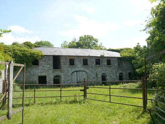 Capraghoutbuilding · 616 yd
 Grave YardGraveyard · 1136 yd
 Ruins of Old ChurchChurch · 1146 yd
 Man-made underground passage in RossdreenaghMan-made underground passage · 1411 yd
 Mannan Castle (in ruins)Castle, Anglo-Norman masonry castle · 1.2 mi
 Horse-chestnutHorse-chestnut · 2.0 mi
 TobernagalliaghSpring · 2.5 mi
 European BeechEuropean Beech · 2.6 mi
 KnockreaghMountain / peak · 4.8 mi
 Flat cemetery in AnnaheanFlat cemetery · 5.1 mi
 Drumerlough MoreMountain / peak · 5.9 mi
 Gully IslandIslet · 6.1 mi