What is recorded here
Located on a fairly level landscape. The cropmark of a circular enclosure (diam. c. 25m) defined by a single fosse feature with an entrance gap at SE is visible on aerial photographs (MM (44) 25-28).
Compiled by: Michael Moore
Date of upload: 25 March, 2014
The monument record does not grant public access. Check the route and ask the landowner before entering private land.
- What survives
- Recorded monument
Places near here
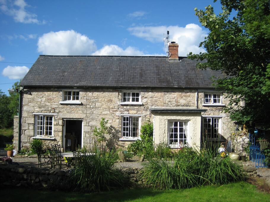 The Long StoneArchaeological place · 153 yd
 Wind Mill StumpWindmill · 412 yd
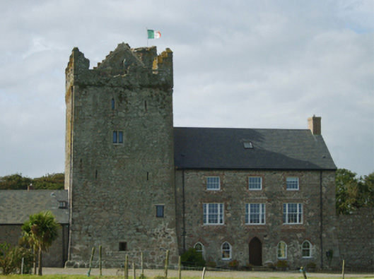 farm housefarm house · 470 yd
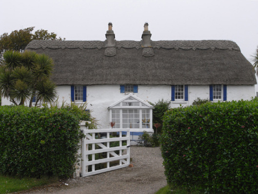 Clougheast Cottagehouse · 722 yd
 CastleCastle, tower house · 834 yd
 Site of CastleCastle, unclassified · 930 yd
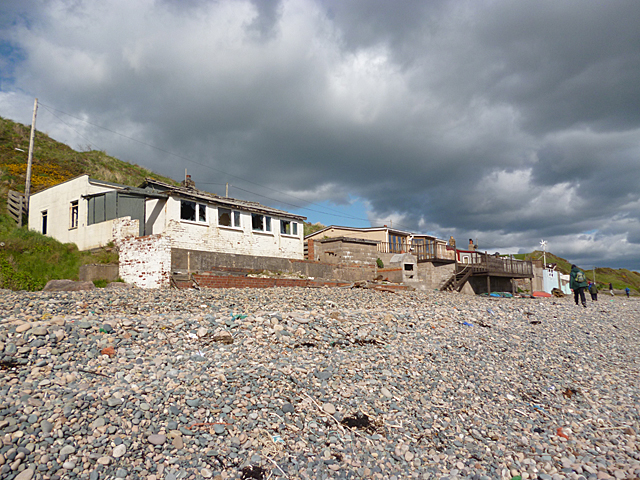 Nethertown BeachBeach / strand · 1221 yd
 The Caravan RockNamed rock · 1262 yd
 The CaamstoneNamed rock · 1456 yd
 Churchtown Beach / The Sandy GripeBeach / strand · 1578 yd
 Lifeboat MemorialMemorial · 1695 yd
 The Chour / The Hill of the ChourMountain / peak · 1.1 mi