What is recorded here
Three earthen banks and outer ditches enclose a broad circular platform in Listiernan, measuring about forty-five metres across before vegetation swallowed the edges. The south-eastern approach is now flattened, yet a faint line remains where an entrance may have stood. People walked that gap, entered the ring, and left it changed in ways no longer recorded. The fort keeps its shape beneath green growth, waiting for someone to remember the difference between a field and a room the earth built for human life.
Raised circular area (int. dims. 45.2m NNW-SSE; c. 44m ENE-WSW) enclosed by three earthen banks with outer fosses. From SE-S-SSW the outer fosse and bank and the intermediate fosse have been levelled but their outline is still identifiable. An earlier report (OPW 1969) suggested that the original entrance was probably at SE. Densely overgrown with vegetation.
The above description is derived from the published 'Archaeological Inventory of County Cavan' (Dublin: Stationery Office, 1995). In certain instances the entries have been revised and updated in the light of recent research.
Date of upload/revision: 22 December 2008
The monument record does not grant public access. Check the route and ask the landowner before entering private land.
- What survives
- Recorded monument
Places near here
 Christ Church Church of Ireland Churchchurch/chapel · 633 yd
 TobermogueHoly well · 945 yd
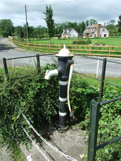 water pumpwater pump · 951 yd
 ClonkeenMountain / peak · 1.4 mi
 Drumbagh ForestForest · 1.7 mi
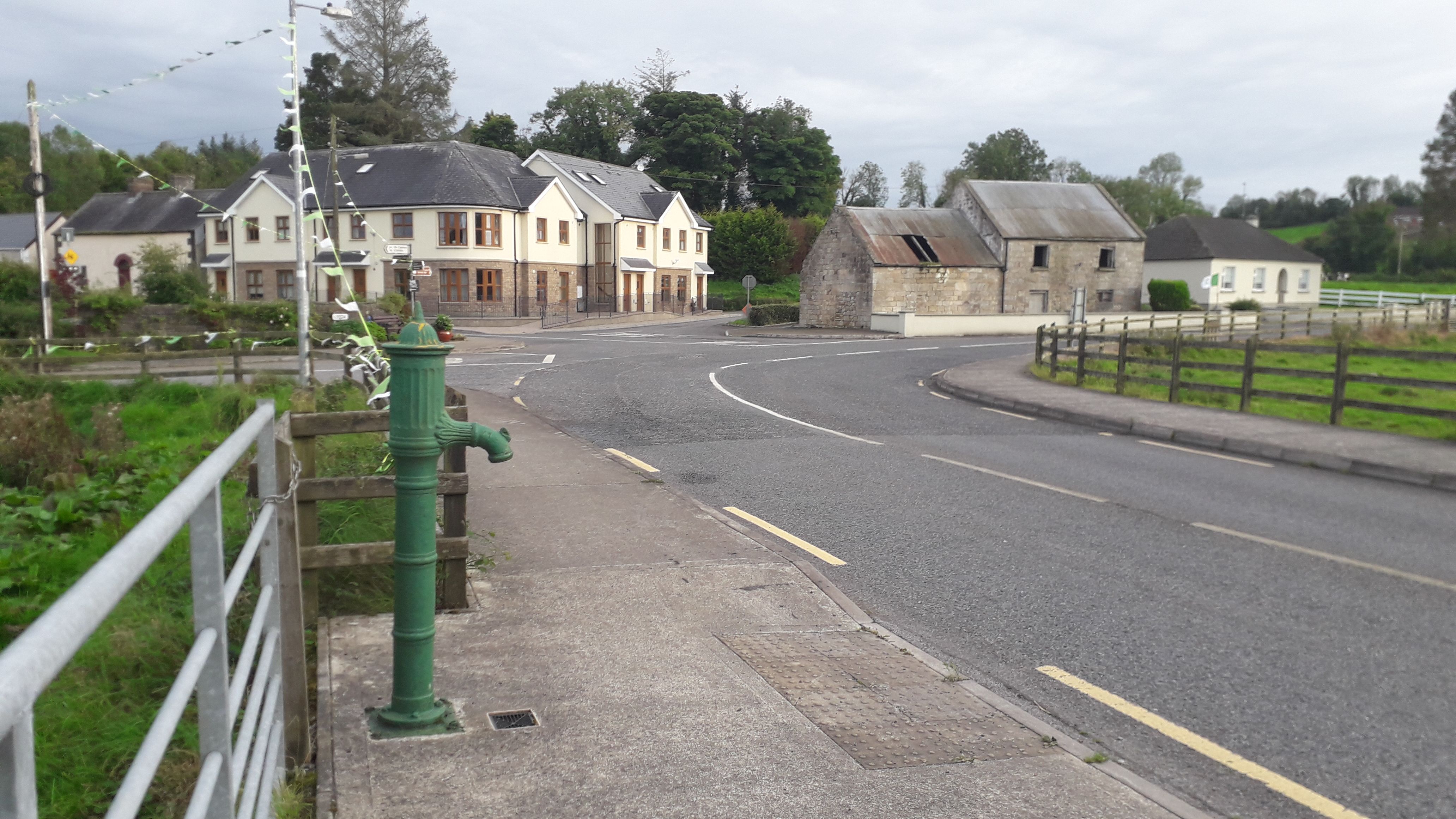 Milltown NorthWood · 1.9 mi
 Cloncose FortFairy fort / earthen ringfort · 1.9 mi
 Bilberry HillMountain / peak · 2.1 mi
 Drumlane AbbeyHeritage attraction · 2.6 mi
 CastleCastle, unclassified · 2.9 mi
 Killeshandra Irish Countrywomen's Association 70th AnniversaryMemorial · 3.5 mi
 Kieran Doherty TD Cavan Monaghan MemorialMonument · 3.8 mi