What is recorded here
Fairy forts are earthen ringforts. In Lissydonnell the bank stands one point six metres high around a circular pasture. Conifers occupy the centre now, but people may have lived inside the ridge before trees took the land back. The fairies never appeared, yet the shape still excludes ordinary forgetting.
In pasture, on SE-facing slope. Circular area (25.6m NNE-SSW) enclosed by earthen bank (H 1.6m) WSW->ENE; scarp (H 2m) elsewhere; shallow external fosse (max. D 0.5m). Field boundary crossing SE quadrant survives as stone-faced scarp (H 1m). Interior planted with conifers.
The above description is derived from the published 'Archaeological Inventory of County Cork. Volume 1: West Cork' (Dublin: Stationery Office, 1992). In certain instances the entries have been revised and updated in the light of recent research.
Date of upload/revision: 14 January 2009
The monument record does not grant public access. Check the route and ask the landowner before entering private land.
- What survives
- Recorded monument
Places near here
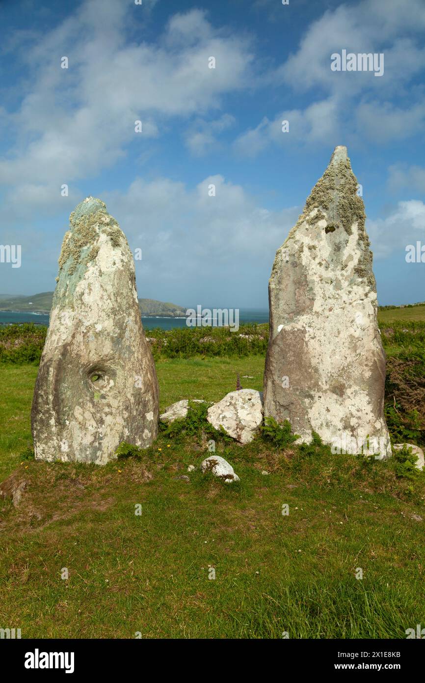 Childrens Burial GdBurial ground · 790 yd
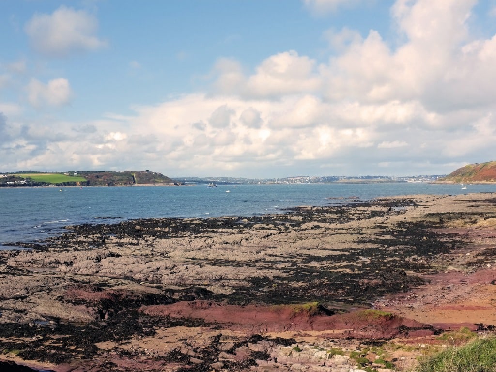 IndicatedEnclosure · 1508 yd
 Mount KidMountain / peak · 1.5 mi
 KnockaphukeenMountain / peak · 1.8 mi
 Meen Bridgebridge · 1.9 mi
 Church of the Most Holy Rosarychurch/chapel · 1.9 mi
 Ballydehob Railway StationVisitor information · 3.3 mi
 Ballydehob's 3-Arch Road BridgeVisitor information · 3.4 mi
 Ballyourane Castle (in Ruins)Castle, unclassified · 3.4 mi
 Kilcoe CastleCastle · 3.4 mi
 Danno O’Mahony statueMemorial · 3.5 mi
 Mannin BegIslet · 3.5 mi