What is recorded here
Fairy fort / earthen ringfort in Lissycoyne is a fairy fort or earthen ringfort in Lissycoyne, County Sligo, Ireland. The surviving earthen arc and external fosse mark the south edge of a rath appearing on the 1838 OS 6-inch map. A newer linear bank projects northwards from the west end, while a quarry hollow lies nearby in the undulating pasture.
In undulating pasture, on the S side of a ridge top. An arc of earthen bank (L c. 15m; Wth 3m; int. H 1.1m; ext. H 1.4m) with traces of an external fosse (Wth 2m; D 0.4m) are the remains of the S arc of a rath (diam. c. 25m) indicated on the 1838 OS 6-inch map. At the W end of the surviving bank a linear earthen bank (L c. 10m; Wth 1.8m; H 0.6m) projects sharply northwards and may be of a more recent date. There is a quarry hollow (10m x 6m) c. 6m to E.
The above description is derived from the published 'Archaeological Inventory of County Sligo' compiled by Ursula Egan, Elizabeth Byrne, Mary Sleeman with Sheila Ronan and Connie Murphy (Dublin Stationery Office, 2005).
Date of upload: 18 January 2008
The monument record does not grant public access. Check the route and ask the landowner before entering private land.
- What survives
- Recorded monument
Places near here
 LissycoyneFairy fort / earthen ringfort · 324 yd
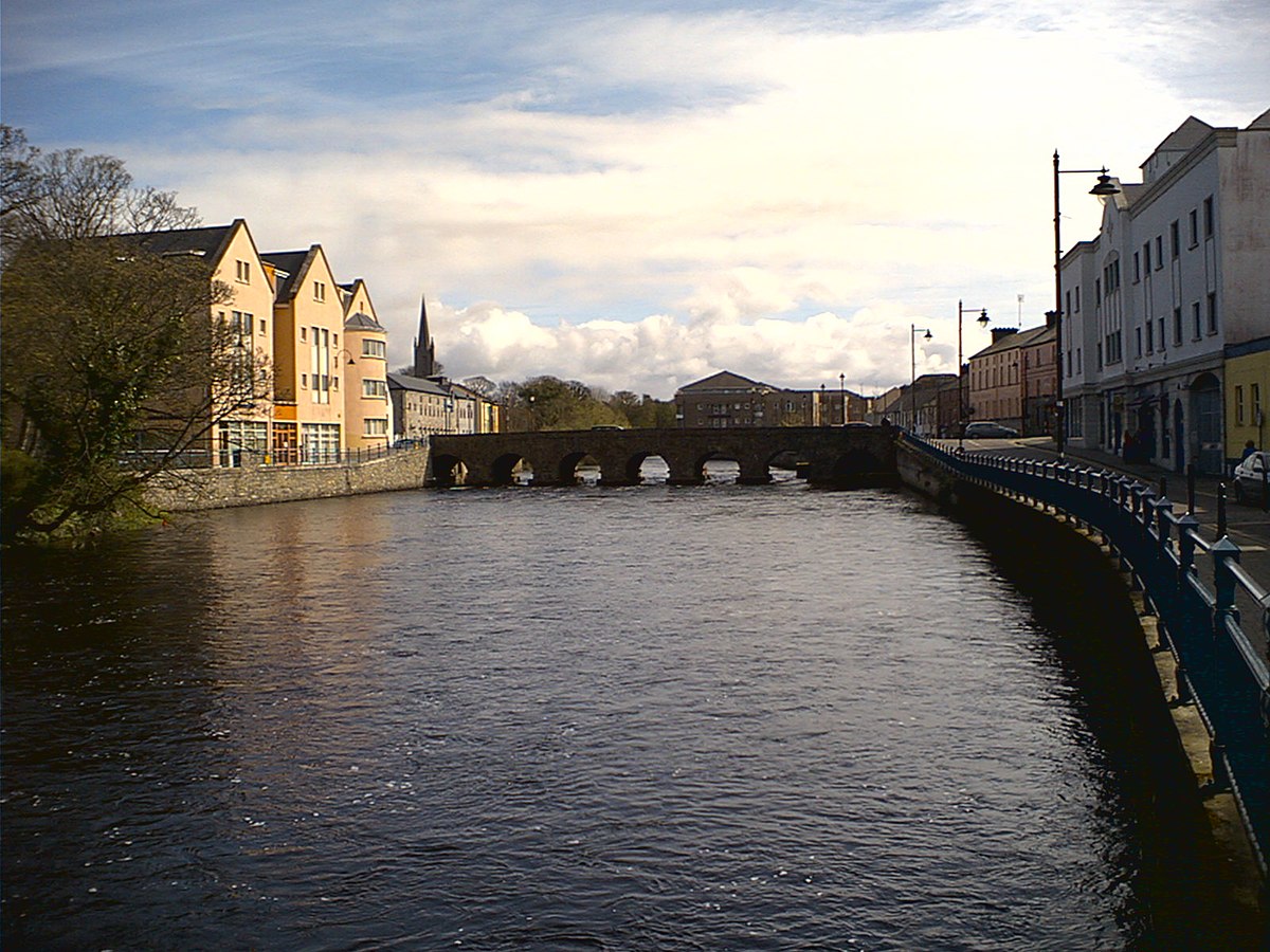 Indicated (1838).Fairy fort / earthen ringfort · 424 yd
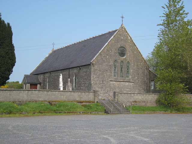 Saint Patrick's Catholic Churchchurch/chapel · 943 yd
 Bellarush Br.Bridge · 1530 yd
 Castle BaldwinCastle · 1.3 mi
 Bricklieve Castle (in Ruins)Castle, unclassified · 1.9 mi
 Annaghgowla IslandIslet · 2.1 mi
 Riverstown Folk ParkHeritage attraction · 2.4 mi
 InishmoreIslet · 2.6 mi
 Bricklieve MountainsMountain / peak · 2.9 mi
 Treanscrabbagh caveCave · 3.0 mi
 Barroe NorthMountain / peak · 3.0 mi