What is recorded here
No wall or ditches remain, but the land still carries the name Fort Field. Two oval enclosures once stood contiguous in the grassland, perhaps shelters or markers for a forgotten community. The quarry cut through them later, erasing the shape but not the memory. People still point to the scarred ground and call it a fort, proving that naming can preserve what digging destroys.
In undulating grassland. Marked on 1st ed. of OS 6-inch map as two contiguous oval enclosure: one to N (c. 25m by c. 20m), the second to S (c. 30m by c. 25m). On the map, an irregular quarry pit is shown in the area between them, it also partially overlies both enclosures. No visible surface trace survives, but the area is still known as the 'fort field': a disused quarry now marks the site.
The above description is derived from the published 'Archaeological Inventory of County Galway Vol. II - North Galway'. Compiled by Olive Alcock, Kathy de hÓra and Paul Gosling (Dublin: Stationery Office, 1999).
Date of upload: 05 August 2010
The monument record does not grant public access. Check the route and ask the landowner before entering private land.
- What survives
- Recorded monument
Places near here
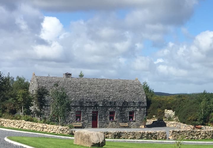 Enclosure in LissavahaunEnclosure · 471 yd
 Enclosure in Ballyeighter (clonmacnowen By.)Enclosure · 842 yd
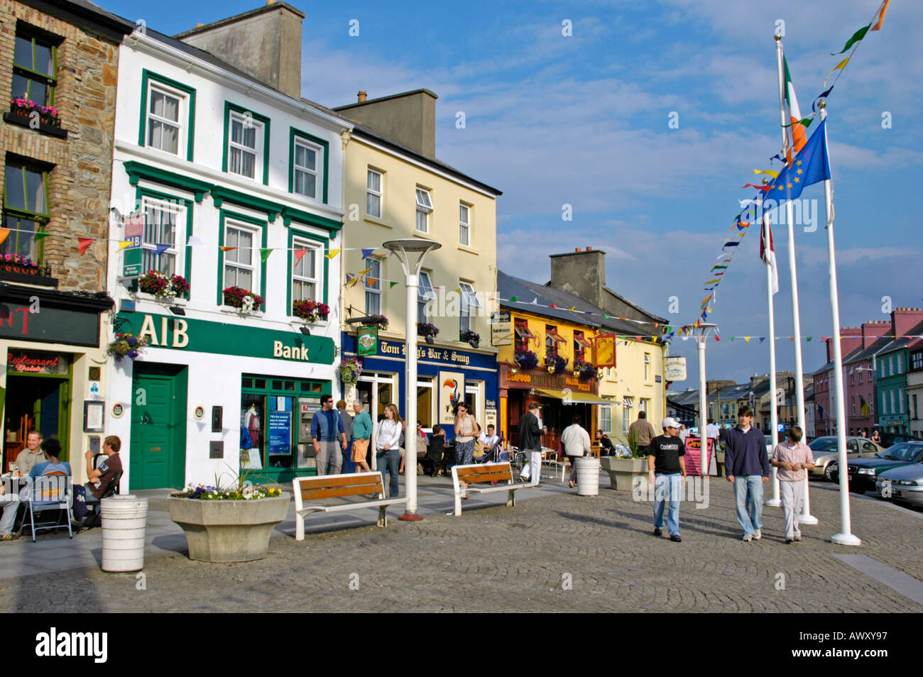 IndicatedHouse, 18th/19th century · 942 yd
 Killallaghtan ChurchChurch · 1.5 mi
 Battle of AughrimMajor battlefield · 1.6 mi
 Battle of Aughrim Interpretative CentreMuseum · 1.8 mi
 The bloody HollowHeritage attraction · 1.8 mi
 Park CastleCastle, hall-house · 1.9 mi
 Castle (Site of)Castle, Anglo-Norman masonry castle · 2.0 mi
 Oak WoodWood · 2.2 mi
 Urraghry HillMountain / peak · 2.9 mi
 West WoodWood · 4.1 mi