What is recorded here
On the flat edge of a gentle ridge which is aligned E-W and slopes to the NW to a stream at the base of the ridge, in pastureland. Another hill rises on the opposite side of the stream. Impressive bivallate ringfort, roughly circular (int. diam. 50m N-S; overall diam. 72.7m E-W) enclosed by an earthen bank (Wth 1.6m crest, 2.8m base; int. H 0.2m; ext. H 1.55m); deep, flat-bottomed, steep-sided fosse (Wth 2.8m; D 1.6m) and substantial, flat-topped outer earthen bank (Wth 4.9m crest, 9.2m; ext. H 2.12m). In the E quadrant. The fosse has been filled-in and the interior is flat up to the outer bank. The outer bank is generally higher than the inner bank, particularly in the S quadrant where it is surmounted by a post and wire fence. In the NNW sector the outer bank has been quarried into towards the interior. In the SW quadrant the fosse has been filled-in level with the interior, with no break in the outer bank. The fosse is very much as depicted on the 2nd (1906) ed. OS 6-inch map. There is a narrow cattle break (Wth 1.5m) in the bank in the E quadrant. There is no clear outer fosse, there is a slight dip in the ground level at the external base of the bank (Wth 3m).
Compiled by: Jean Farrelly
Date of upload: 26 August 2011
The monument record does not grant public access. Check the route and ask the landowner before entering private land.
- What survives
- Recorded monument
Places near here
 Enclosure in LissavaEnclosure · 511 yd
 Site of CastleCastle, unclassified · 964 yd
 LissavaFairy fort / earthen ringfort · 1042 yd
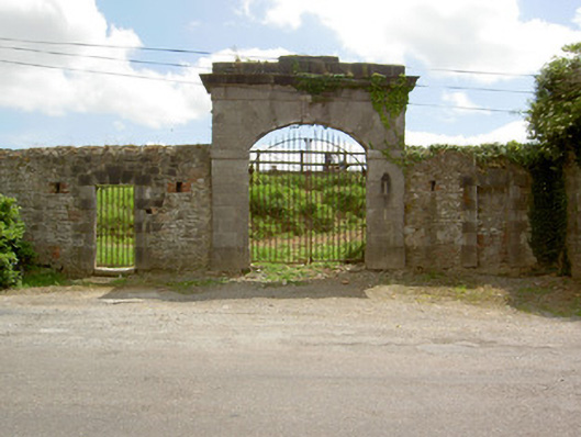 barracksbarracks · 1124 yd
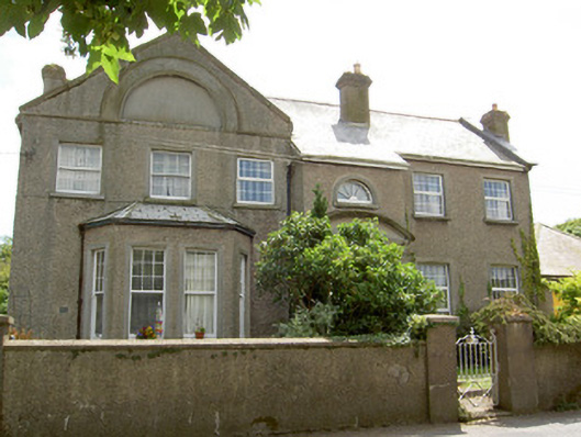 Carn Braeofficer's house · 1197 yd
 Pedunculate OakPedunculate Oak · 1563 yd
 Siege of Cahir Castlesiege · 1660 ydCahir CastleHeritage attraction · 1679 yd
 Caher AbbeyHeritage attraction · 1.1 mi
 European YewEuropean Yew · 1.3 mi
 Slieveanard NE TopMountain / peak · 2.4 mi
 Castle (in ruins)Castle, unclassified · 2.6 mi