What is recorded here
Fairy fort in Lissatunny, County Galway: a circular earthen ringfort about 53 metres across on a west-facing hill slope. Its bank and outer ditch remain visible, though hawthorn thickets and modern gaps break the rim, and a field wall cuts across at the west and south-east. People may have lived, herded or hidden there before the land was divided; the fort still holds its shape beneath the green.
On the W-facing slope of a hill. This roughly circular rath (diam. c. 53m), in fair condition, is defined by a bank and external fosse. The bank is overgrown with hawthorn trees and a number of gaps in it appear to be modern. A field wall cuts across the monument at W and SSE.
Compiled by: Galway Archaeological Survey, UCG
Date of upload: 9 February 2018
The monument record does not grant public access. Check the route and ask the landowner before entering private land.
- What survives
- Recorded monument
Places near here
 HawthornHawthorn · 519 yd
 CrossCross · 521 yd
 European ashEuropean ash · 524 yd
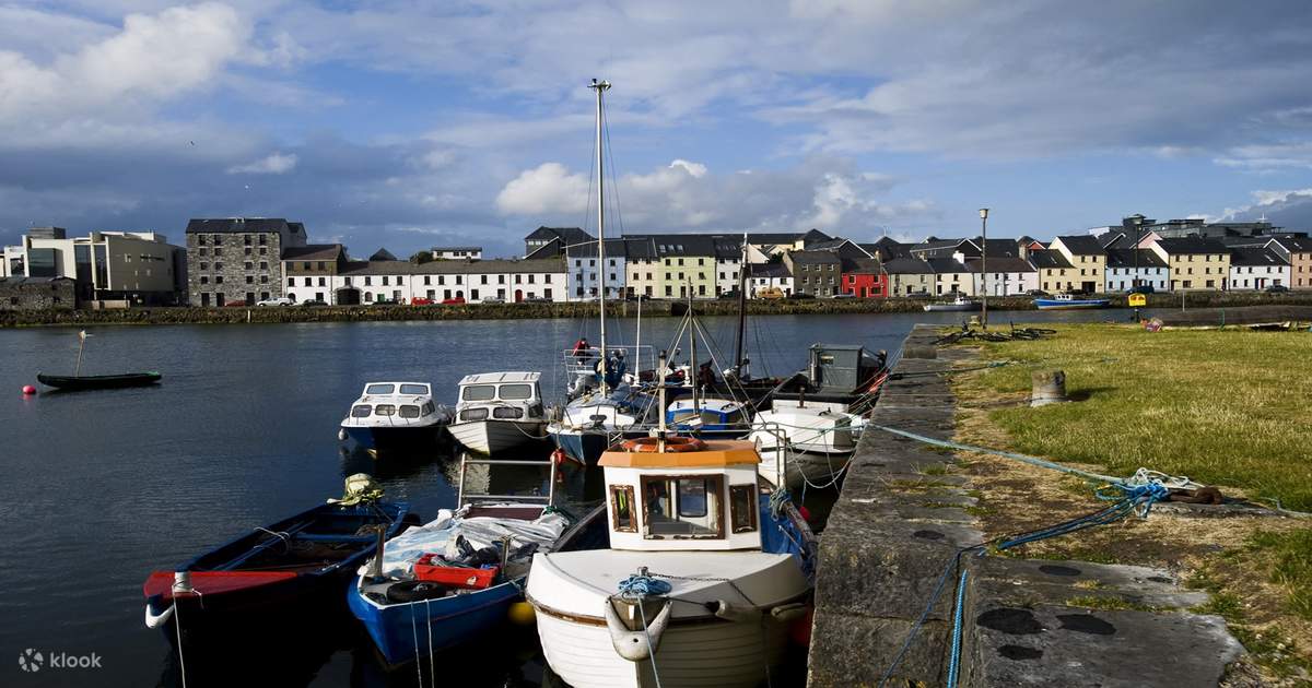 IndicatedChurch · 574 yd
 CaveMan-made underground passage · 817 yd
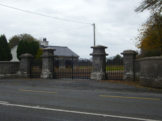 Tullira Castlegates/railings/walls · 1550 yd
 Ballylee CastleCastle, tower house · 1.4 mi
 Ballymaquiff CastleCastle · 1.5 mi
 Drumharsna CastleHeritage attraction · 2.6 mi
 Kilmacduagh Monastic SiteVisitor information · 6.0 mi
 Kilmacduagh MonasteryHeritage attraction · 6.1 mi
 Mulroney's IslandIslet · 6.7 mi