What is recorded here
Lissaniska holds a vanished fort named for water, though no pond remains visible. Its earthen ring still marks a shallow basin where rain collects and drains south through a broken gap. People may have lived there before ploughs and feet softened the bank into a low ridge. The fort has lost most of its shape, but the name still points to the water it once kept.
Internal diameter 41m N-S, 39m E-W
Lissaniska/Lios an Uisce (ringfort of the water). This rath is named after the townland in which it is situated. Bounded to the S-W by a fieldbank, this univallate rath has been much levelled. It consists of a sub-circular area enclosed by a low, wide earthen bank whose width at the base varies from 7m-l1m wide. The maximum external height of the bank is 1.2m above the surrounding land and c .7m above the interior. The interior is gently sloping S and SSE there is a 3m wide gap in the bank.
The above description is derived from C. Toal, ‘North Kerry Archaeological Survey’. Dingle. Brandon in association with FAS Training and Employment Authority (1995), no. 436. In certain instances the entries have been revised and updated in the light of recent research.
Date of upload: 2 August 201
The monument record does not grant public access. Check the route and ask the landowner before entering private land.
- What survives
- Recorded monument
Places near here
 LissanfarranArchaeological place · 396 yd
 LisnabroArchaeological place · 835 yd
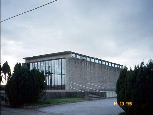 Corpus Christi Catholic Churchchurch/chapel · 912 yd
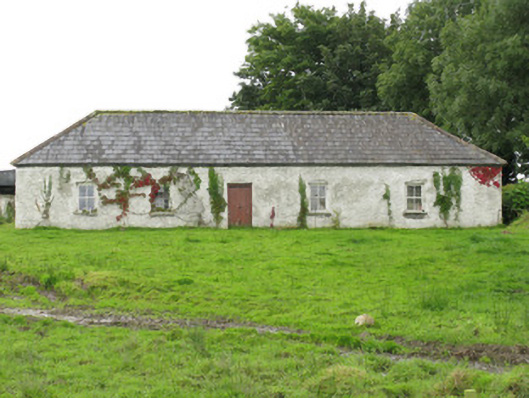 farm housefarm house · 2.2 mi
 CastleCastle, tower house · 3.0 mi
 John B. KeaneMemorial · 4.2 mi
 Statue of SchillerMemorial · 4.2 mi
 Lawson's CypressLawson's Cypress · 4.4 mi
 Purt CastleCastle · 4.4 mi
 Kerry Writers' MuseumMuseum · 4.7 mi
 Lartigue MonorailMuseum · 4.8 mi
 Tarbet BayBay · 8.6 mi