What is recorded here
Fairy fort in Lissaniska East, County Limerick: a 40-metre earthen ring with a shallow ditch, half-swallowed by pasture and boundary changes. The bank still rises two metres outside, but inside it drops to knee-height, as if the fort exhaled and lay down. Cattle may have grazed the place for centuries, treading the ancient line into a rumour. What the field keeps is shape, not certainty: a circle strong enough to mark the land and quiet enough to disappear when nobody remembers it.
In level pasture. Roughly circular area (40.4m N-S; 39.8m E-W) enclosed by earthen bank (int. H 0.75m; ext. H 2.2m), with an external fosse (D 1.7m; Wth 2.8m) S->W. Break (Wth 2.75m) in bank at NE is recent construction and bank has been levelled E->SE. Field boundary runs along outer line of fosse SE->W; field boundary which skirted site at N has been removed. Interior is level and under rough pasture.
Compiled by: Denis Power
Date of upload: 26 August 2011
This remains an important historical record, but the official description says the monument is no longer visible or has been destroyed. The monument record does not grant public access. Check the route and ask the landowner before entering private land.
- What survives
- No visible remains or recorded as destroyed
Places near here
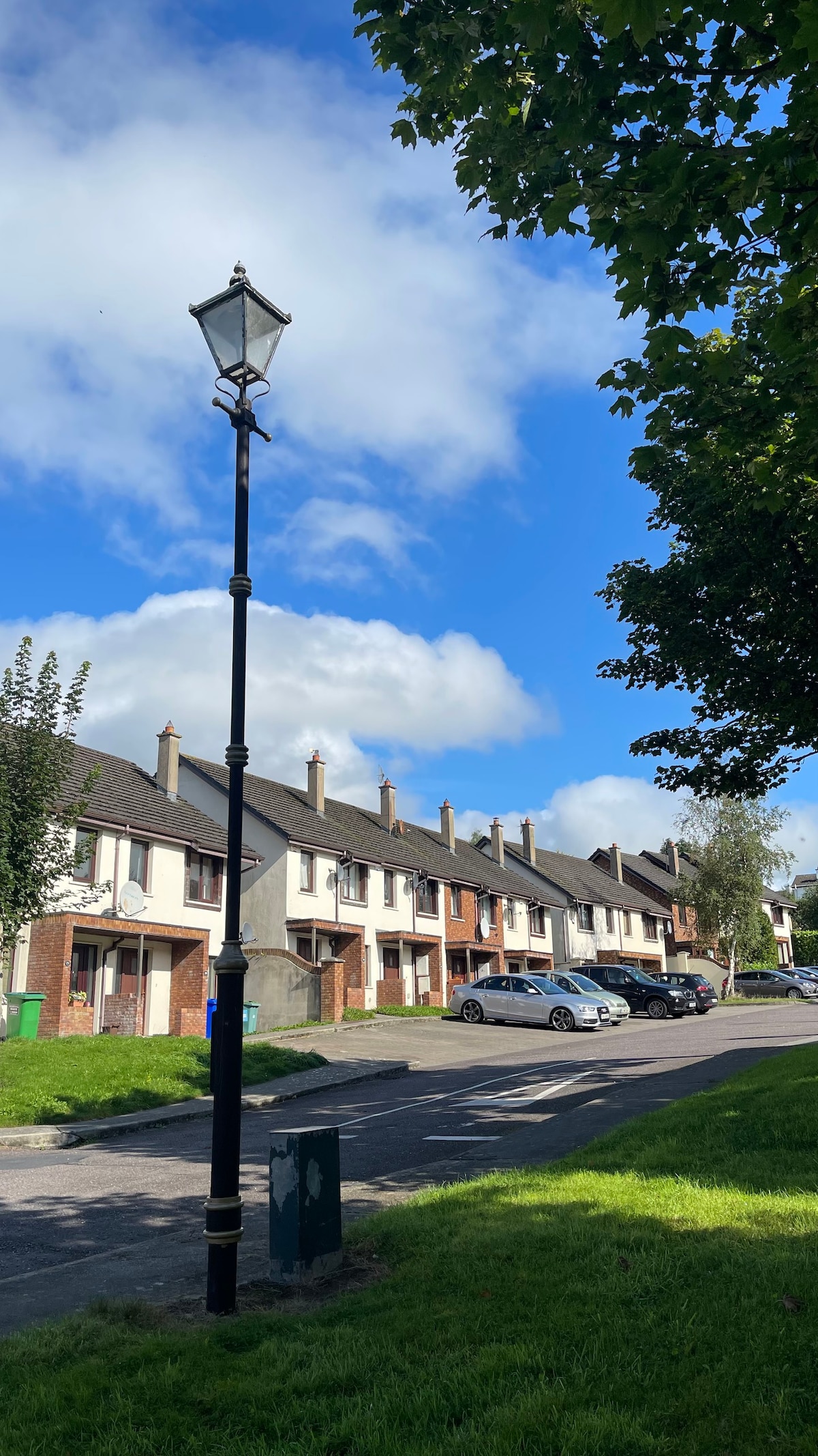 Lissanaska HachuredFairy fort / earthen ringfort · 860 yd
 Knockaderry Housecountry house · 1128 yd
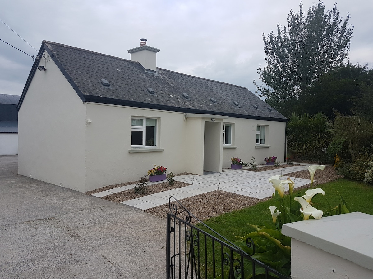 Enclosure in KnockaderryEnclosure · 1201 yd
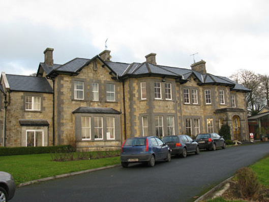 Rathfredagh Cheshire Homecountry house · 1283 yd
 Ballynoe Castle (in ruins)Castle, tower house · 1.9 mi
 CastleCastle, tower house · 2.2 mi
 European ashEuropean ash · 2.3 mi
 LaghtpatrickSpring · 2.5 mi
 Sunday WellSpring · 2.8 mi
 Limerick GreenwayWalking route · 6.6 mi
 Ballagh MountainMountain / peak · 7.5 mi
 Sugar HillMountain / peak · 7.8 mi